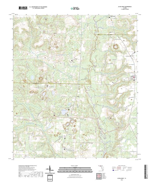
2024 Map of Altha West
USGS Topo · Published 2024About this map
The Chipola River snakes through this Panhandle landscape, defining the boundary between Jackson and Calhoun counties. The area is characterized by a high density of family-named cemeteries and small agrarian settlements, reflecting a deeply rooted local genealogy. Small communities such as Altha, Willis, and Chason anchor the rural road network, while landmarks like the Old Shiloh Cem and New Shiloh Cem speak to the area's religious and social history. The terrain is marked by numerous bays and ponds, including Cook Bay and Hasty Pond, typical of the region's complex karst and wetland geography. Transportation is a mix of traditional backroads and modern recreational paths, with the Florida National Scenic Trail winding past Page Pond and through the river lowlands. Notable aviation infrastructure is present at the Cattle Creek Ranch Airport, while river features like Bullet Bend and Horseshoe Bend illustrate the meandering nature of the local waterways.
Find a feature on this map
91 named features on this map. Tap any name to fly to it.
Don’t see what you’re looking for? This feature index may not catch every label — zoom into the map to look around manually.
Map Details
Editions of this 2024 Altha West Map
This is the sole edition of this map. No revisions or reprints were ever made.
Other maps of this area

1944 · Clarksville
USGS Topo · 1:31,680

1945 · Juniper Creek
USGS Topo · 1:31,680

1945 · Blountstown
USGS Topo · 1:31,680

1945 · Clarksville
USGS Topo · 1:31,680

1952 · Cypress
USGS Topo · 1:24,000

1952 · Oakdale
USGS Topo · 1:24,000

1952 · Kynesville
USGS Topo · 1:24,000

1952 · Alford SE
USGS Topo · 1:24,000

1952 · Altha West
USGS Topo · 1:24,000

1952 · Altha East
USGS Topo · 1:24,000