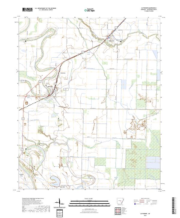
2024 Map of Altheimer
USGS Topo · Published 2024About this map
The low-lying alluvial plains of Jefferson County are defined by a complex network of drainage canals and meandering bayous, reflecting the region's deep agricultural roots. Settlements like Altheimer and Wabbaseka anchor the landscape, while smaller hubs such as Newtown and Lake Dick appear along the local road network. The map reveals an intricate system of water management, visible through named channels like Lateral Number 2 and Barraque Lateral, which support the surrounding farmland. Genealogy interests are well-served by numerous rural burial sites, including Mound Bayou Cem and Damascus Cem. This modern survey highlights how the natural flow of Wabbaseka Bayou and Flat Bayou has been integrated into a structured landscape of section lines and irrigation ditches that define current-day land use in this Arkansas Delta region.
Find a feature on this map
70 named features on this map. Tap any name to fly to it.
Don’t see what you’re looking for? This feature index may not catch every label — zoom into the map to look around manually.
Map Details
Editions of this 2024 Altheimer Map
This is the sole edition of this map. No revisions or reprints were ever made.
Other maps of this area

1935 · Altheimer
USGS Topo · 1:62,500

1935 · Varner
USGS Topo · 1:62,500

1935 · Noble Lake
USGS Topo · 1:62,500

1941 · Goldman
USGS Topo · 1:62,500

1948 · Helena
USGS Topo · 1:250,000

1950 · Helena
USGS Topo · 1:250,000

1955 · Helena
USGS Topo · 1:250,000

1959 · Helena
USGS Topo · 1:250,000

1960 · Helena
USGS Topo · 1:250,000
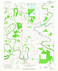
1963 · Sherrill
USGS Topo · 1:24,000