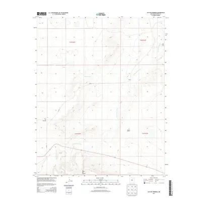
2013 Map of Alto De Hormiga
USGS Topo · Published 2013About this map
Arroyo Piedra Lumbre carves a significant drainage path through this section of Mora County, illustrating the high-desert hydrology characteristic of the region. The landscape is defined by dramatic elevation changes and named landforms such as Alto de Hormiga and the prominent Las Mesas Del Conjelon to the south. Small outposts and residential clusters like Montoya and Wengert are situated along the winding path of Co Road 29, while the Red River Ranch sits in the northeast corner near the arroyo's upper reaches. This survey captures a rural New Mexico landscape where habitation is sparse and tied closely to the accessible terrain surrounding Cañon Monnet and the protective shelter of Cañada Ensinosa.
Find a feature on this map
13 named features on this map. Tap any name to fly to it.
Don’t see what you’re looking for? This feature index may not catch every label — zoom into the map to look around manually.
Map Details
Editions of this 2013 Alto De Hormiga Map
This is the sole edition of this map. No revisions or reprints were ever made.
Other maps of this area

1892 · Watrous
USGS Topo · 1:125,000

1894 · Watrous
USGS Topo · 1:125,000

1954 · Santa Fe
USGS Topo · 1:250,000

1954 · Raton
USGS Topo · 1:250,000

1958 · Raton
USGS Topo · 1:250,000

1958 · Santa Fe
USGS Topo · 1:250,000

1964 · Stony Lake
USGS Topo · 1:24,000

1964 · Wagon Mound
USGS Topo · 1:24,000

1964 · Alto De Hormiga
USGS Topo · 1:24,000

1964 · Mogote Hills
USGS Topo · 1:24,000