2020 Map of Alto De Hormiga
USGS Topo · Published 2020About this map
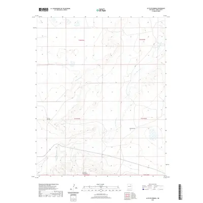
Las Mesas Del Conjelon rises in the southern reaches of this Mora County landscape, marking a transition into the elevated terrain that characterizes the northern New Mexico high plains. The area is defined by a series of dramatic drainages, including the lengthy Arroyo Piedra Lumbre, which cuts a path north to south across the central portion of the survey. Significant local relief is found at Alto de Hormiga and within the recesses of Cañon Monnet, offering a detailed view of the natural watercourses that have historically dictated movement and land use in this semi-arid region. Sparse road development, represented primarily by routes c028 and c029, suggests a largely rural and ranch-oriented environment. The map provides a clear look at the intricate canyon systems and high mesas, including Cañada Ensinosa, which were central to the early settlement patterns and livestock operations of the area.
Find a feature on this map
14 named features on this map. Tap any name to fly to it.
Don’t see what you’re looking for? This feature index may not catch every label — zoom into the map to look around manually.
Map Details
Editions of this 2020 Alto De Hormiga Map
This is the sole edition of this map. No revisions or reprints were ever made.
Other maps of this area

1892 · Watrous
USGS Topo · 1:125,000

1894 · Watrous
USGS Topo · 1:125,000

1954 · Santa Fe
USGS Topo · 1:250,000

1954 · Raton
USGS Topo · 1:250,000

1958 · Raton
USGS Topo · 1:250,000

1958 · Santa Fe
USGS Topo · 1:250,000

1964 · Stony Lake
USGS Topo · 1:24,000

1964 · Wagon Mound
USGS Topo · 1:24,000

1964 · Alto De Hormiga
USGS Topo · 1:24,000

1964 · Mogote Hills
USGS Topo · 1:24,000