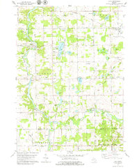
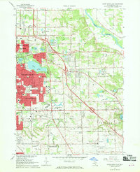
1978 Map of Alto
USGS Topo · Published 1979About this map
The Thornapple River carves a winding path through the western half of this township, anchoring a landscape where agricultural heritage meets mid-century leisure. In the late 1970s, the rural character remains evident through family landmarks like Merriman Cem and the Grange Hall near Whitneyville. Local educational and religious centers, such as Kettle Lake Sch and Whitneyville Ch, serve the surrounding farmsteads and the small settlements of McCords and Alaska.
Find a feature on this map
71 named features on this map. Tap any name to fly to it.
Don’t see what you’re looking for? This feature index may not catch every label — zoom into the map to look around manually.
Map Details
Editions of this 1978 Alto Map
This is the sole edition of this map. No revisions or reprints were ever made.
Other maps of this area
1914 · Grand Rapids
USGS Topo · 1:62,500
1918 · Lowell
USGS Topo · 1:62,500
1943 · Grand Rapids
USGS Topo · 1:62,500
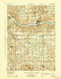
1943 · Lowell
USGS Topo · 1:62,500
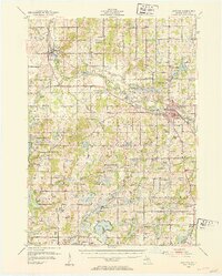
1951 · Hastings
USGS Topo · 1:62,500

1958 · Grand Rapids
USGS Topo · 1:250,000
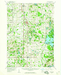
1959 · Wayland
USGS Topo · 1:62,500

1961 · Grand Rapids
USGS Topo · 1:250,000
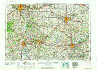
1962 · Grand Rapids
USGS Topo · 1:250,000
1967 · Grand Rapids East
USGS Topo · 1:24,000