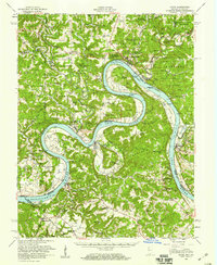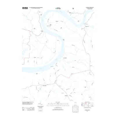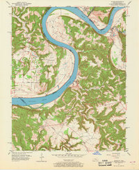
1951 Map of Alton
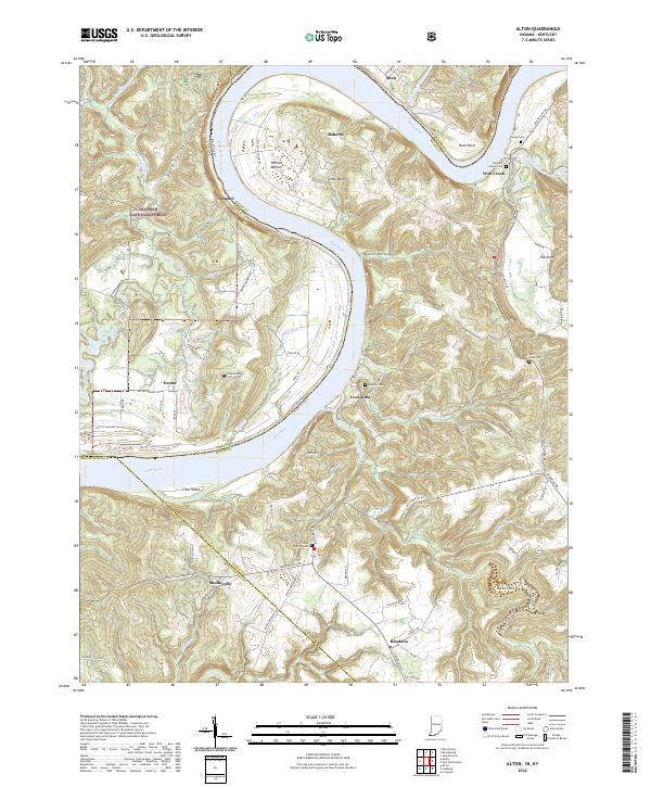
USGS Topo · Published 1968About this map
The Ohio River dominates this mid-century landscape, carving a massive horseshoe bend that defines the boundary between Indiana and Kentucky. On the Indiana side, the small settlement of Alton sits near the confluence with the Little Blue River, while the fertile Bottom lands of the river bend are dotted with small family burial grounds like Barr Cem. Transportation patterns of the era are visible in the Boyer Ferry crossing, which provided a vital link between the rural uplands of Crawford and Meade counties. Further south in Kentucky, the community centers around institutional landmarks such as St Theresa Academy and Sacred Heart Ch. The map captures a transition from the river-dependent economies of the past toward a more terrestrial infrastructure, documented by the intersection of the Second Principal Meridian and numerous localized schools and churches serving these riverside townships.
Find a feature on this map
44 named features on this map. Tap any name to fly to it.
Don’t see what you’re looking for? This feature index may not catch every label — zoom into the map to look around manually.
Map Details
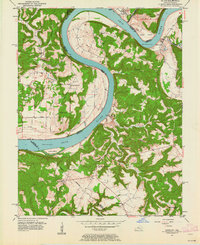
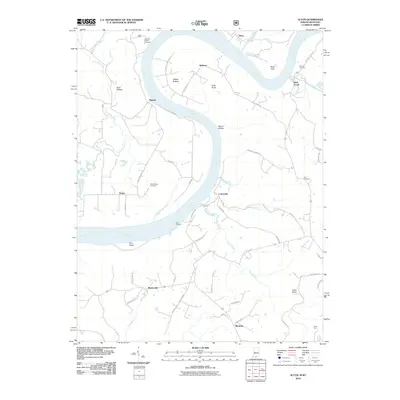
Editions of this 1951 Alton Map
2 editions found

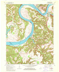
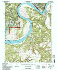
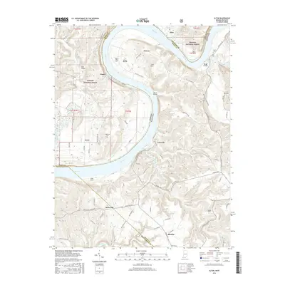
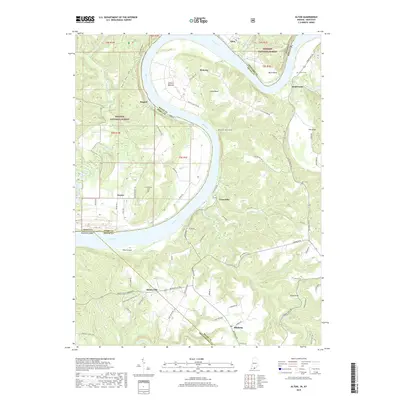
Historical Maps of Alton Through Time
10 maps found