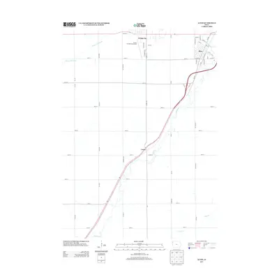
2013 Map of Alton
USGS Topo · Published 2013About this map
The Floyd River corridor serves as the primary geographic axis for this portion of Sioux County, where the sister communities of Orange City and Alton anchor the northern landscape. While Orange City expands westward near the Orange City Slough and houses the Orange City Municipal Airport, Alton sits to the east, defined by a dense grid of residential streets like Minnesota St and Cambier Dr. The settlement pattern follows a rigid section-line road system typical of the region, punctuated by smaller locales such as Carnes. The map illustrates the contemporary intersection of agricultural land use and growing municipal footprints, with the river and its tributaries, including Willow Cr, cutting through the geometric regularity of the surrounding farms.
Find a feature on this map
49 named features on this map. Tap any name to fly to it.
Don’t see what you’re looking for? This feature index may not catch every label — zoom into the map to look around manually.
Map Details
Editions of this 2013 Alton Map
This is the sole edition of this map. No revisions or reprints were ever made.
Other maps of this area

1954 · Fairmont
USGS Topo · 1:250,000

1954 · Fort Dodge
USGS Topo · 1:250,000

1955 · Sioux City
USGS Topo · 1:250,000

1955 · Sioux Falls
USGS Topo · 1:250,000

1957 · Fort Dodge
USGS Topo · 1:250,000

1958 · Sioux City
USGS Topo · 1:250,000

1958 · Sioux Falls
USGS Topo · 1:250,000

1958 · Fort Dodge
USGS Topo · 1:250,000

1958 · Fairmont
USGS Topo · 1:250,000

1959 · Sioux City
USGS Topo · 1:250,000