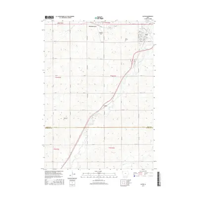
2015 Map of Alton
USGS Topo · Published 2015About this map
Orange City and Alton anchor this portion of Sioux County, where the agricultural grid meets the winding path of the Floyd River. The landscape is defined by a dense network of sectional roads and the prominent corridor of the river, which passes south through the small settlement of Carnes. This survey highlights the region's long-established community foundations, notably through three distinct burial sites: Saint Marys Cem in Alton, the Nassau Township Cem just to the west, and the isolated Eason Family Burial Plot located in a rural section to the southwest. Aviation and local transport are represented by the Orange City Municipal Airport and a series of county routes including Co Hwy B62 and Co Hwy C12. Water features like the Orange City Slough and Willow Cr reflect the drainage patterns across this prairie farmland.
Find a feature on this map
55 named features on this map. Tap any name to fly to it.
Don’t see what you’re looking for? This feature index may not catch every label — zoom into the map to look around manually.
Map Details
Editions of this 2015 Alton Map
This is the sole edition of this map. No revisions or reprints were ever made.
Other maps of this area

1954 · Fairmont
USGS Topo · 1:250,000

1954 · Fort Dodge
USGS Topo · 1:250,000

1955 · Sioux City
USGS Topo · 1:250,000

1955 · Sioux Falls
USGS Topo · 1:250,000

1957 · Fort Dodge
USGS Topo · 1:250,000

1958 · Sioux City
USGS Topo · 1:250,000

1958 · Sioux Falls
USGS Topo · 1:250,000

1958 · Fort Dodge
USGS Topo · 1:250,000

1958 · Fairmont
USGS Topo · 1:250,000

1959 · Sioux City
USGS Topo · 1:250,000