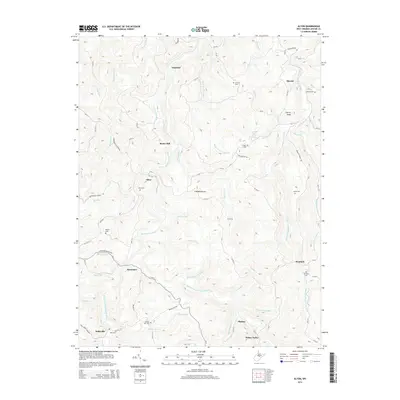
2014 Map of Alton
USGS Topo · Published 2014About this map
Alexander and Alton are central points of settlement in this rugged section of Upshur Co, where the mountain landscape is defined by the winding course of the Buckhannon River. The 2014 terrain is deeply carved by numerous runs and creeks, including the Right Fork Buckhannon River and Panther Cr, illustrating a historic reliance on these waterways for early industry and navigation. Several small communities such as Beans Mill, Imperial, and Queens dot the ridges and hollows, often organized around family-named features and rural landmarks. Genealogists will find a wealth of specific local history in the numerous small burial grounds, such as Brooks Hill Cem, Marple Cem, and Lanham Cem, as well as significant community sites like Bethlehem Church and the Leonard Run School Spring.
Find a feature on this map
88 named features on this map. Tap any name to fly to it.
Don’t see what you’re looking for? This feature index may not catch every label — zoom into the map to look around manually.
Map Details
Editions of this 2014 Alton Map
This is the sole edition of this map. No revisions or reprints were ever made.
Other maps of this area

1893 · Buckhannon
USGS Topo · 1:125,000

1896 · Buckhannon
USGS Topo · 1:125,000

1897 · Buckhannon
USGS Topo · 1:125,000

1912 · Sago
USGS Topo · 1:48,000

1912 · Crawford
USGS Topo · 1:48,000

1913 · Hacker Valley
USGS Topo · 1:48,000

1913 · Pickens
USGS Topo · 1:48,000

1914 · Sago
USGS Topo · 1:62,500

1914 · Crawford
USGS Topo · 1:62,500

1915 · Hacker Valley
USGS Topo · 1:62,500