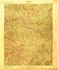
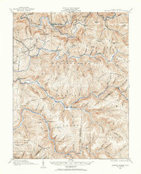
1915 Map of Hacker Valley
USGS Topo · Published 1915About this map
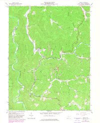
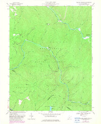
The Little Kanawha River winds through the northern reaches of this 1915 survey, where the Collins Settlement defines the local geography. This high-country landscape in the Allegheny Mountains is marked by an extensive network of small rural schools, reflecting a period of dispersed mountain communities before the mid-century consolidation of education. Institutions like Saffles Retreat School, Beulah School, and the remote Snuffville School served families across these ridges.
Find a feature on this map
109 named features on this map. Tap any name to fly to it.
Don’t see what you’re looking for? This feature index may not catch every label — zoom into the map to look around manually.
Map Details
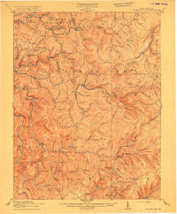
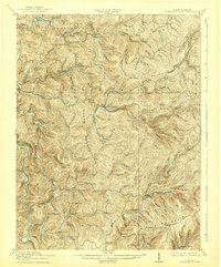
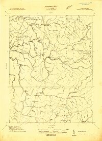
Editions of this 1915 Hacker Valley Map
4 editions found
Historical Maps of Vernon Through Time
21 maps found
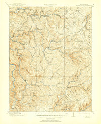
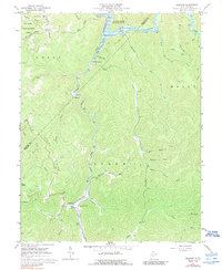
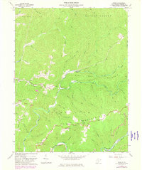
1913 Hacker Valley
Webster County, WV
1915 Hacker Valley
Webster County, WV
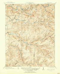
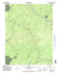
1915 Webster Springs
Webster County, WV
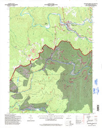
1918 Webster Springs
Webster County, WV
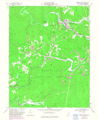
1966 Webster Springs
Webster County, WV
1967 Diana
Webster County, WV
1967 Erbacon
Webster County, WV
1967 Goshen
Webster County, WV
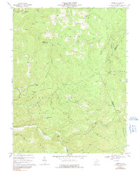
1967 Hacker Valley
Webster County, WV
1967 Skelt
Webster County, WV
1967 Webster Springs SW
Webster County, WV
1995 Webster Springs SW
Webster County, WV
1995 Webster Springs
Webster County, WV
1997 Erbacon
Webster County, WV
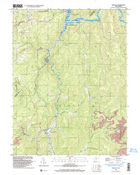
2023 Diana
Webster County, WV
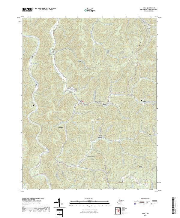
2023 Erbacon
Webster County, WV
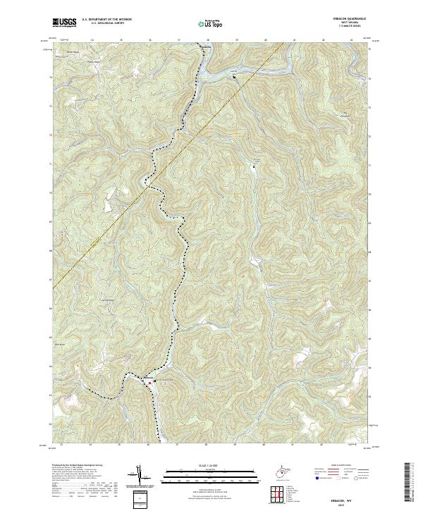
2023 Goshen
Webster County, WV
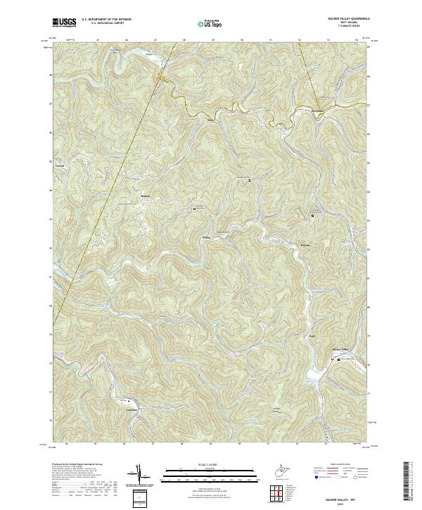
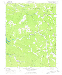
2023 Hacker Valley
Webster County, WV
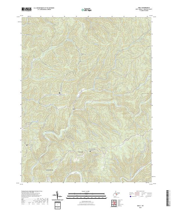
2023 Skelt
Webster County, WV
2023 Webster Springs SW
Webster County, WV
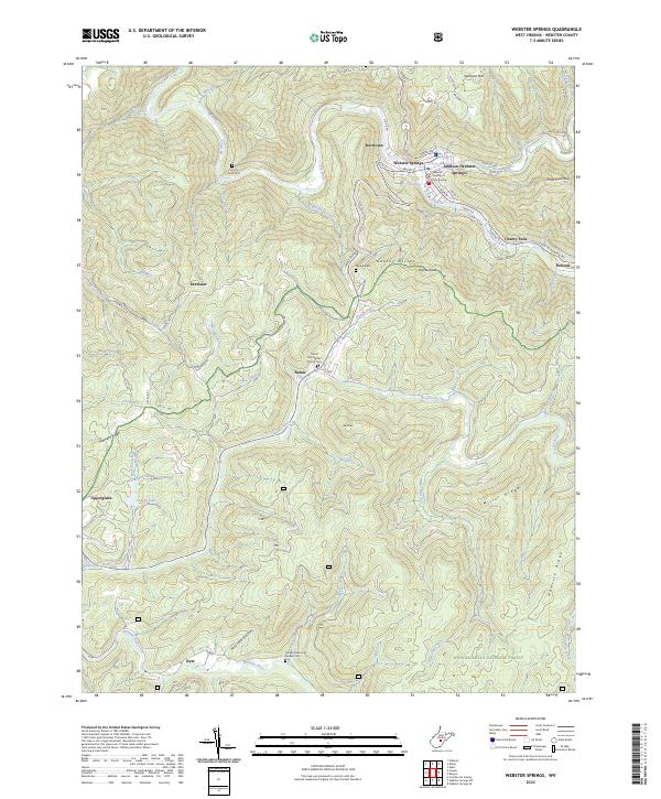
2023 Webster Springs
Webster County, WV