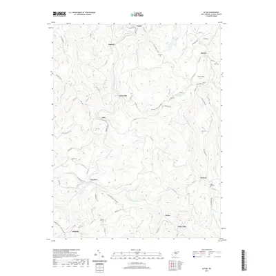
2019 Map of Alton
USGS Topo · Published 2019About this map
The Buckhannon River and its numerous forks dominate the landscape of southern Upshur County, where the Right Fork Buckhannon River and Left Fork Buckhannon River converge at Alexander. This area is characterized by high ridges and steep hollows, such as Dudes Hollow and Phillips Ridge, which have historically dictated the placement of small communities like Imperial, Beans Mill, and Queens.
Find a feature on this map
93 named features on this map. Tap any name to fly to it.
Don’t see what you’re looking for? This feature index may not catch every label — zoom into the map to look around manually.
Map Details
Editions of this 2019 Alton Map
This is the sole edition of this map. No revisions or reprints were ever made.
Other maps of this area

1893 · Buckhannon
USGS Topo · 1:125,000

1896 · Buckhannon
USGS Topo · 1:125,000

1897 · Buckhannon
USGS Topo · 1:125,000

1912 · Sago
USGS Topo · 1:48,000

1912 · Crawford
USGS Topo · 1:48,000

1913 · Hacker Valley
USGS Topo · 1:48,000

1913 · Pickens
USGS Topo · 1:48,000

1914 · Sago
USGS Topo · 1:62,500

1914 · Crawford
USGS Topo · 1:62,500

1915 · Hacker Valley
USGS Topo · 1:62,500