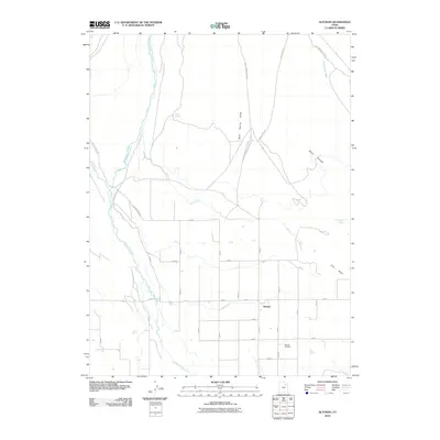
2010 Map of Altonah
USGS Topo · Published 2010About this map
Altonah serves as the central hub of this agricultural landscape in Duchesne County, situated at a junction of roads and irrigation infrastructure. The settlement's history is tied to the management of water, evidenced by an extensive network of human-made waterways including the Payne Canal, Number 1 Canal, and the United States Lake Fork Canal. These channels divert water from the Lake Fork River and the Yellowstone River to sustain the high desert basin. To the south of the main settlement, the Altonah Cemetery provides a primary point of interest for genealogists and local historians. The surrounding terrain is marked by distinctive drainages such as Mud Spring Draw and Cottonwood Wash, while isolated water sources like Chidester Springs and Willow Spring break the dry stretches of Clay Basin and Water Hollow.
Find a feature on this map
39 named features on this map. Tap any name to fly to it.
Don’t see what you’re looking for? This feature index may not catch every label — zoom into the map to look around manually.
Map Details
Editions of this 2010 Altonah Map
This is the sole edition of this map. No revisions or reprints were ever made.
Other maps of this area

1885 · Uinta
USGS Topo · 1:250,000

1905 · Gilbert Peak
USGS Topo · 1:125,000

1906 · Gilbert Peak
USGS Topo · 1:125,000

1939 · Duchesne
USGS Topo · 1:125,000

1954 · Salt Lake City
USGS Topo · 1:250,000

1958 · Salt Lake City
USGS Topo · 1:250,000

1960 · Salt Lake City
USGS Topo · 1:250,000
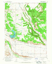
1965 · Bluebell
USGS Topo · 1:24,000
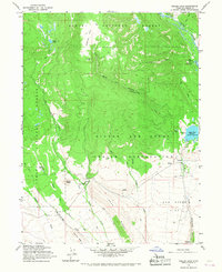
1965 · Heller Lake
USGS Topo · 1:24,000
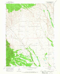
1965 · Mountain Home
USGS Topo · 1:24,000