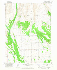
1965 Map of Altonah
USGS Topo · Published 1967About this map
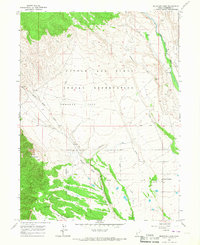
Altonah serves as the primary settlement on this 1960s survey, situated where the high desert meets the irrigated agricultural lands of Duchesne County. The landscape is defined by the heavy management of water, with an intricate network of canals such as the U S Lake Fork Canal and the Bluebell Lateral distributing flow from the Lake Fork River and Yellowstone River. These waterways supported the local ranching economy just south of the Uintah and Ouray Indian Reservation boundary.
Find a feature on this map
23 named features on this map. Tap any name to fly to it.
Don’t see what you’re looking for? This feature index may not catch every label — zoom into the map to look around manually.
Map Details
Editions of this 1965 Altonah Map
2 editions found
Other maps of this area

1885 · Uinta
USGS Topo · 1:250,000

1905 · Gilbert Peak
USGS Topo · 1:125,000

1906 · Gilbert Peak
USGS Topo · 1:125,000

1939 · Duchesne
USGS Topo · 1:125,000

1954 · Salt Lake City
USGS Topo · 1:250,000

1958 · Salt Lake City
USGS Topo · 1:250,000

1960 · Salt Lake City
USGS Topo · 1:250,000
1965 · Bluebell
USGS Topo · 1:24,000
1965 · Heller Lake
USGS Topo · 1:24,000
1965 · Mountain Home
USGS Topo · 1:24,000