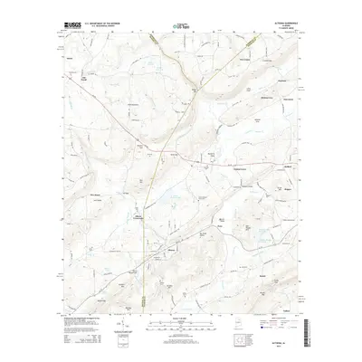
2014 Map of Altoona
USGS Topo · Published 2014About this map
Sand Mountain dominates the northwestern landscape of this 2014 survey, which covers the rugged tri-county border area of Blount, Etowah, and Marshall. The topography is defined by the northeast-to-southwest orientation of ridges and valleys, including Murphree Valley and Warrior Valley. The mining legacy of the region is evident through features like Mining Pond Br and the steep elevation changes around Red Mtn.
Find a feature on this map
153 named features on this map. Tap any name to fly to it.
Don’t see what you’re looking for? This feature index may not catch every label — zoom into the map to look around manually.
Map Details
Editions of this 2014 Altoona Map
This is the sole edition of this map. No revisions or reprints were ever made.
Other maps of this area

1885 · Gadsden
USGS Topo · 1:125,000

1888 · Gadsden
USGS Topo · 1:125,000

1889 · Springville
USGS Topo · 1:125,000

1892 · Springville
USGS Topo · 1:125,000

1892 · Gadsden
USGS Topo · 1:125,000

1895 · Gadsden
USGS Topo · 1:125,000

1903 · Gadsden
USGS Topo · 1:125,000

1936 · Mountainboro
USGS Topo · 1:24,000
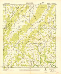
1936 · Brooksville
USGS Topo · 1:24,000

1936 · High Point
USGS Topo · 1:24,000