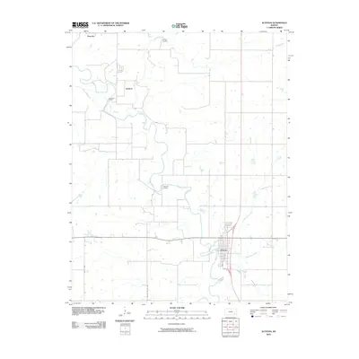
2010 Map of Altoona
USGS Topo · Published 2010About this map
Altoona and the surrounding Wilson County countryside are defined by the winding course of the Verdigris River as it moved through the Kansas landscape in the early 21st century. This map documents a series of rural crossings and settlements, from the northern community of Benedict down through Guilford to the grid of Altoona itself. Significant local infrastructure is noted, including the Guilford Bridge and Barnhill Bridge, which link the agricultural lands separated by the river’s oxbows. The terrain is further etched by a network of waterways including Big Cedar Creek, Little Cedar Creek, and Clear Creek. Roadways such as the Million Dollar Hwy provide a look at the transport corridors connecting these river towns. For those interested in local geography, Camp Cauble sits near the northern boundary, while the street grid of Altoona identifies key routes like Main St and 5th St.
Find a feature on this map
15 named features on this map. Tap any name to fly to it.
Don’t see what you’re looking for? This feature index may not catch every label — zoom into the map to look around manually.
Map Details
Editions of this 2010 Altoona Map
This is the sole edition of this map. No revisions or reprints were ever made.
Other maps of this area

1886 · Fredonia
USGS Topo · 1:125,000

1886 · Independence
USGS Topo · 1:125,000

1894 · Fredonia
USGS Topo · 1:125,000

1894 · Independence
USGS Topo · 1:125,000

1905 · Independence
USGS Topo · 1:125,000

1938 · Fredonia
USGS Topo · 1:62,500

1938 · Altoona
USGS Topo · 1:62,500

1939 · Altoona
USGS Topo · 1:48,000

1939 · Fredonia
USGS Topo · 1:48,000

1942 · Fredonia
USGS Topo · 1:62,500