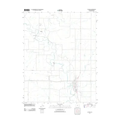
2012 Map of Altoona
USGS Topo · Published 2012About this map
The Verdigris River snakes through the heart of Wilson County, Kansas, shaping the rural landscape near the town of Altoona. This survey documents the area's river crossings and road network in the early twenty-first century, featuring key access points such as the Guilford Bridge and Barnhill Bridge. The settlement of Guilford is positioned near the river's bend, while the grid of Altoona is clearly defined by landmarks like Main St and State St.
Find a feature on this map
21 named features on this map. Tap any name to fly to it.
Don’t see what you’re looking for? This feature index may not catch every label — zoom into the map to look around manually.
Map Details
Editions of this 2012 Altoona Map
This is the sole edition of this map. No revisions or reprints were ever made.
Other maps of this area

1886 · Fredonia
USGS Topo · 1:125,000

1886 · Independence
USGS Topo · 1:125,000

1894 · Fredonia
USGS Topo · 1:125,000

1894 · Independence
USGS Topo · 1:125,000

1905 · Independence
USGS Topo · 1:125,000

1938 · Fredonia
USGS Topo · 1:62,500

1938 · Altoona
USGS Topo · 1:62,500

1939 · Altoona
USGS Topo · 1:48,000

1939 · Fredonia
USGS Topo · 1:48,000

1942 · Fredonia
USGS Topo · 1:62,500