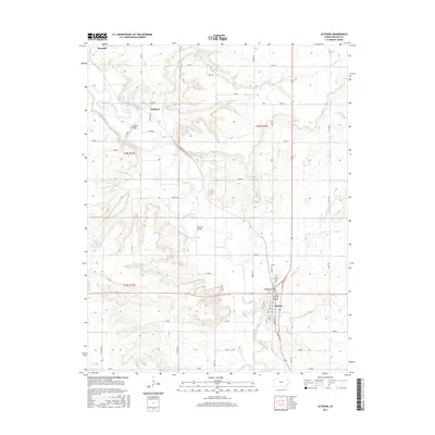
2015 Map of Altoona
USGS Topo · Published 2015About this map
The Verdigris River defines the landscape of this Wilson County region, carving a winding path through the prairie south from Benedict. In the north, the small settlement of Guilford sits near a sharp bend in the river, connected to the surrounding farmland by Guilford Bridge. Further downstream, the river passes Barnhill Bridge before reaching the town of Altoona, which serves as the local anchor with its structured grid of streets including Main St, State St, and Quincy St.
Find a feature on this map
46 named features on this map. Tap any name to fly to it.
Don’t see what you’re looking for? This feature index may not catch every label — zoom into the map to look around manually.
Map Details
Editions of this 2015 Altoona Map
This is the sole edition of this map. No revisions or reprints were ever made.
Other maps of this area

1886 · Fredonia
USGS Topo · 1:125,000

1886 · Independence
USGS Topo · 1:125,000

1894 · Fredonia
USGS Topo · 1:125,000

1894 · Independence
USGS Topo · 1:125,000

1905 · Independence
USGS Topo · 1:125,000

1938 · Fredonia
USGS Topo · 1:62,500

1938 · Altoona
USGS Topo · 1:62,500

1939 · Altoona
USGS Topo · 1:48,000

1939 · Fredonia
USGS Topo · 1:48,000

1942 · Fredonia
USGS Topo · 1:62,500