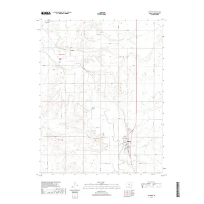
2018 Map of Altoona
USGS Topo · Published 2018About this map
The Verdigris River snakes through the Kansas landscape, serving as the central geographic feature of this Wilson County region. The city of Altoona stands at the junction of several key watercourses, including Little Cedar Cr and Big Cedar Cr, which feed into the main river channel. The river's historical importance for transit and connectivity is highlighted by specific crossings like Guilford Bridge near the settlement of Guilford and the Barnhill Bridge further south.
Find a feature on this map
45 named features on this map. Tap any name to fly to it.
Don’t see what you’re looking for? This feature index may not catch every label — zoom into the map to look around manually.
Map Details
Editions of this 2018 Altoona Map
This is the sole edition of this map. No revisions or reprints were ever made.
Other maps of this area

1886 · Fredonia
USGS Topo · 1:125,000

1886 · Independence
USGS Topo · 1:125,000

1894 · Fredonia
USGS Topo · 1:125,000

1894 · Independence
USGS Topo · 1:125,000

1905 · Independence
USGS Topo · 1:125,000

1938 · Fredonia
USGS Topo · 1:62,500

1938 · Altoona
USGS Topo · 1:62,500

1939 · Altoona
USGS Topo · 1:48,000

1939 · Fredonia
USGS Topo · 1:48,000

1942 · Fredonia
USGS Topo · 1:62,500