2022 Map of Altoona
USGS Topo · Published 2022About this map
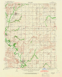
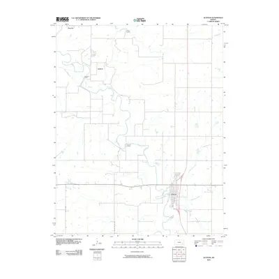
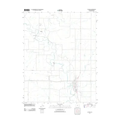
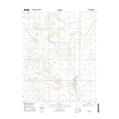
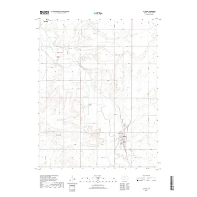
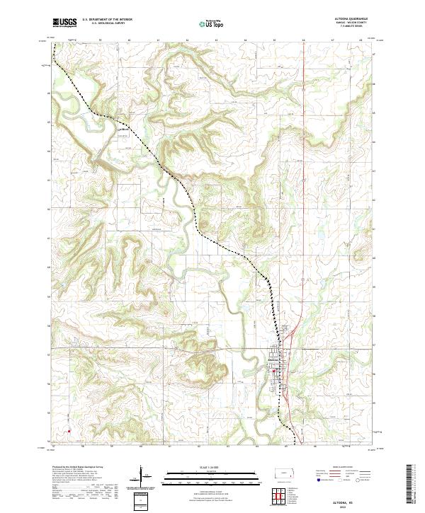
The Verdigris River snakes through the center of this Wilson County landscape, defining the layout of the valley. In the southeastern corner, the city of Altoona serves as the primary hub, where a dense grid of streets including Main St, State St, and Commercial St centers on the local Po. To the northwest, the smaller settlement of Guilford sits along the river's western bank, connected by a network of rural routes such as Ness Rd and 1550 Dirt Rd. The topography is marked by several significant drainages that feed into the main river valley, including Crooked Cr from the north and both Big Cedar Cr and Little Cedar Cr to the east. This 2022 survey captures the transition from structured town grids to the expansive rural sections that characterize the eastern Kansas plains.
Find a feature on this map
42 named features on this map. Tap any name to fly to it.
Don’t see what you’re looking for? This feature index may not catch every label — zoom into the map to look around manually.
Map Details
Editions of this 2022 Altoona Map
This is the sole edition of this map. No revisions or reprints were ever made.
Historical Maps of Altoona Through Time
9 maps found