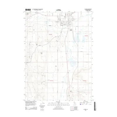
2015 Map of Alturas
USGS Topo · Published 2015About this map
Alturas serves as the primary hub of this High Desert landscape, where the North Fork Pit River and South Fork Pit River converge to form the main stem of the Pit River. The town's grid is well-established, featuring many named streets such as W Carlos St and E Modoc St, while outlying settlements like Juniper and Lakeview Junction mark the transition toward more open ranch land. Aviation is prominent in the local infrastructure, with Alturas Municipal Airport, Wesinger Ranch Airport, and Bates Field all situated within a short distance of one another.
Find a feature on this map
75 named features on this map. Tap any name to fly to it.
Don’t see what you’re looking for? This feature index may not catch every label — zoom into the map to look around manually.
Map Details
Editions of this 2015 Alturas Map
This is the sole edition of this map. No revisions or reprints were ever made.
Other maps of this area

1886 · Alturas
USGS Topo · 1:250,000

1892 · Alturas
USGS Topo · 1:250,000

1954 · Alturas
USGS Topo · 1:250,000

1958 · Alturas
USGS Topo · 1:250,000

1961 · Alturas
USGS Topo · 1:62,500

1962 · Alturas
USGS Topo · 1:250,000

1962 · Davis Creek
USGS Topo · 1:62,500

1962 · Big Sage Reservoir
USGS Topo · 1:62,500

1963 · Little Juniper Reservoir
USGS Topo · 1:24,000

1963 · Dorris Reservoir
USGS Topo · 1:24,000