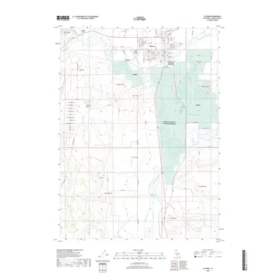
2018 Map of Alturas
USGS Topo · Published 2018About this map
The confluence of the North Fork Pit River and South Fork Pit River defines the landscape surrounding Alturas, the county seat of Modoc County. This survey captures a terrain shaped by the intricate water management of the Westside Canal and the protected marshes of the Modoc National Wildlife Refuge. The map details the transition from the organized street grid of the town center—including names like E Modoc St and Henderson St—to the outlying agricultural fields and high desert features like The Three Sisters and The Hat. The presence of the Alturas Municipal Airport and the rail-oriented Lakeview Junction highlights the area's role as a regional transportation hub. Land use patterns are further illustrated by the inclusion of Bates Field and the Alturas Dump Rd, providing a comprehensive look at the human footprint amidst the river valleys and volcanic peaks of northeastern California.
Find a feature on this map
73 named features on this map. Tap any name to fly to it.
Don’t see what you’re looking for? This feature index may not catch every label — zoom into the map to look around manually.
Map Details
Editions of this 2018 Alturas Map
This is the sole edition of this map. No revisions or reprints were ever made.
Other maps of this area

1886 · Alturas
USGS Topo · 1:250,000

1892 · Alturas
USGS Topo · 1:250,000

1954 · Alturas
USGS Topo · 1:250,000

1958 · Alturas
USGS Topo · 1:250,000

1961 · Alturas
USGS Topo · 1:62,500

1962 · Alturas
USGS Topo · 1:250,000

1962 · Davis Creek
USGS Topo · 1:62,500

1962 · Big Sage Reservoir
USGS Topo · 1:62,500

1963 · Little Juniper Reservoir
USGS Topo · 1:24,000

1963 · Dorris Reservoir
USGS Topo · 1:24,000