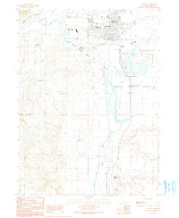
1990 Map of Alturas
USGS Topo · Published 1990About this map
Alturas serves as the focal point of this 1990 survey, situated at the confluence where the Pit River meets its north and south forks. The town's civic infrastructure is well-defined, showing the Modoc High Sch, Warner High Sch, and the Municipal Airport alongside the Alturas Rancheria to the east. The map captures a high desert landscape shaped by water management and conservation, with the Modoc National Wildlife Refuge dominating the wetlands south of the city center.
Find a feature on this map
31 named features on this map. Tap any name to fly to it.
Don’t see what you’re looking for? This feature index may not catch every label — zoom into the map to look around manually.
Map Details
Editions of this 1990 Alturas Map
This is the sole edition of this map. No revisions or reprints were ever made.
Other maps of this area

1886 · Alturas
USGS Topo · 1:250,000

1892 · Alturas
USGS Topo · 1:250,000

1954 · Alturas
USGS Topo · 1:250,000

1958 · Alturas
USGS Topo · 1:250,000

1961 · Alturas
USGS Topo · 1:62,500

1962 · Alturas
USGS Topo · 1:250,000

1962 · Davis Creek
USGS Topo · 1:62,500

1962 · Big Sage Reservoir
USGS Topo · 1:62,500

1963 · Little Juniper Reservoir
USGS Topo · 1:24,000

1963 · Dorris Reservoir
USGS Topo · 1:24,000