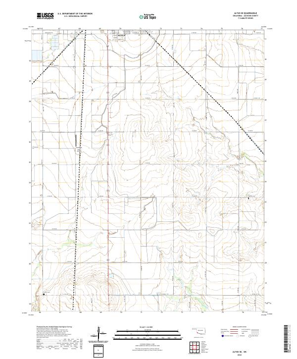
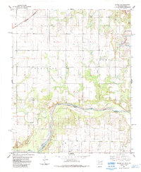
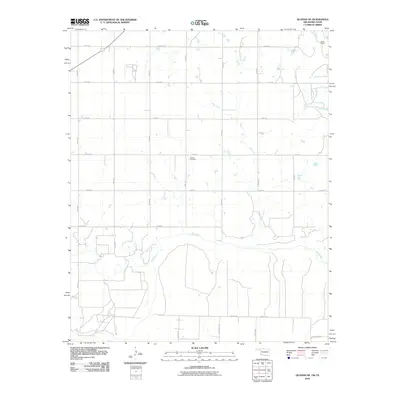
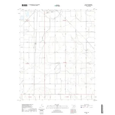
2022 Map of Altus SE
USGS Topo · Published 2022About this map
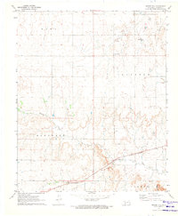
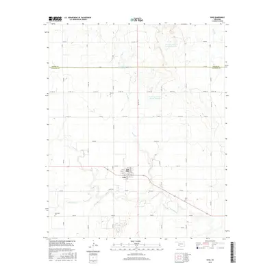
The southwestern Oklahoma plains in Jackson County are defined by a strict section-line grid of rural roads and the engineered path of the Altus Canal. Located just southeast of the city of Altus, this landscape reflects a region deeply connected to agricultural water management and small-scale aviation, evidenced by the Sheffield-Smith Airstrip situated in the northwest. The terrain is largely open and characterized by its regularity, with North-South roads like n2050 RD and East-West routes such as e1690 RD segmenting the countryside.
Find a feature on this map
35 named features on this map. Tap any name to fly to it.
Don’t see what you’re looking for? This feature index may not catch every label — zoom into the map to look around manually.
Map Details
Editions of this 2022 Altus SE Map
This is the sole edition of this map. No revisions or reprints were ever made.
Historical Maps of Altus Through Time
33 maps found
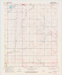
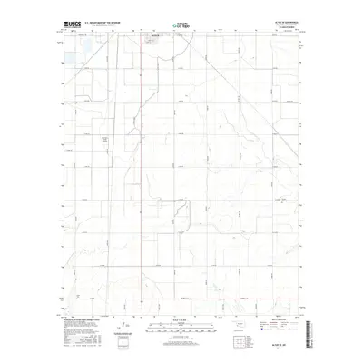
1963 Altus SE
Jackson County, OK
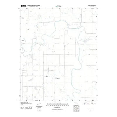
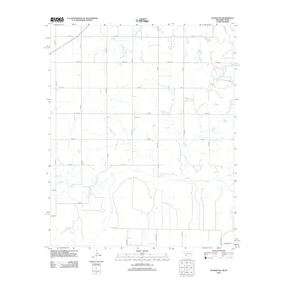
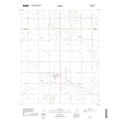
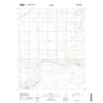
1964 Warren
Jackson County, OK
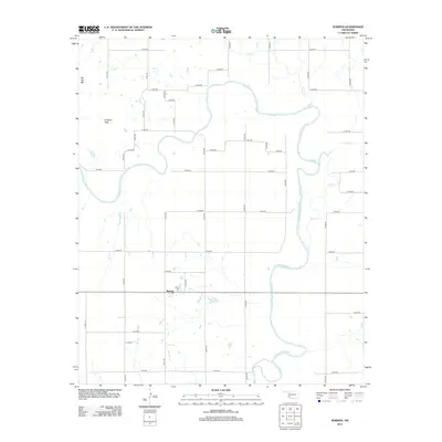
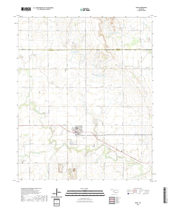
1971 Duke
Jackson County, OK
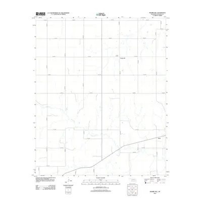
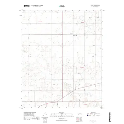
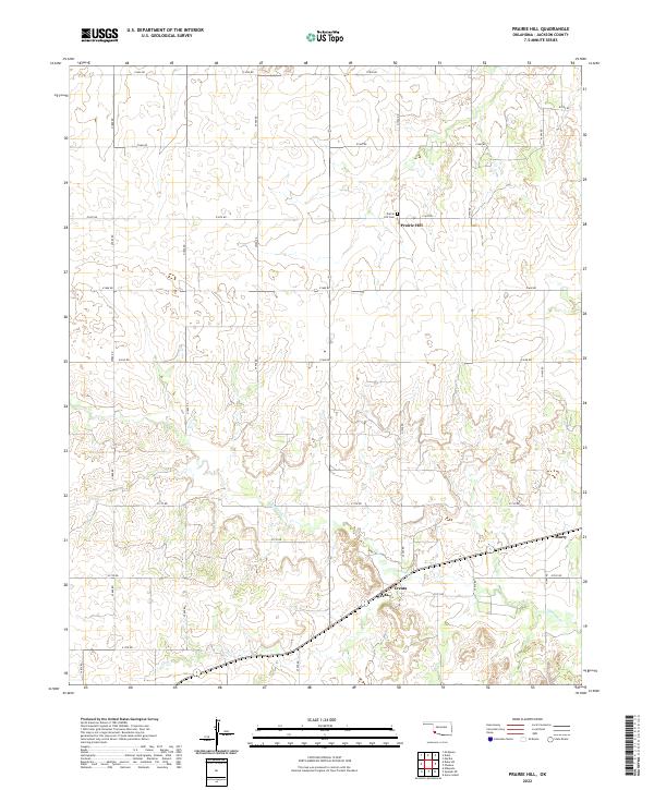
1971 Prairie Hill
Jackson County, OK
1975 Elmore City NE
Jackson County, OK
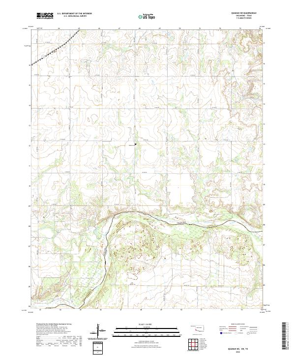
1975 Quanah NE
Jackson County, OK
1975 Quanah NW
Jackson County, OK
1984 Quanah NE
Jackson County, OK
2010 Altus SE
Jackson County, OK
2010 Duke
Jackson County, OK
2010 Prairie Hill
Jackson County, OK
2010 Quanah NE
Jackson County, OK
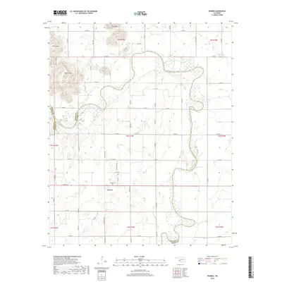
2010 Warren
Jackson County, OK
2012 Altus SE
Jackson County, OK
2012 Duke
Jackson County, OK
2012 Prairie Hill
Jackson County, OK
2012 Quanah NE
Jackson County, OK
2012 Warren
Jackson County, OK
2016 Altus SE
Jackson County, OK
2016 Duke
Jackson County, OK
2016 Prairie Hill
Jackson County, OK
2016 Quanah NE
Jackson County, OK
2016 Warren
Jackson County, OK
2018 Altus SE
Jackson County, OK
2018 Duke
Jackson County, OK
2018 Prairie Hill
Jackson County, OK
2018 Warren
Jackson County, OK
2019 Quanah NE
Jackson County, OK
2022 Altus SE
Jackson County, OK
2022 Duke
Jackson County, OK
2022 Prairie Hill
Jackson County, OK
2022 Quanah NE
Jackson County, OK
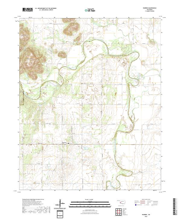
2022 Warren
Jackson County, OK