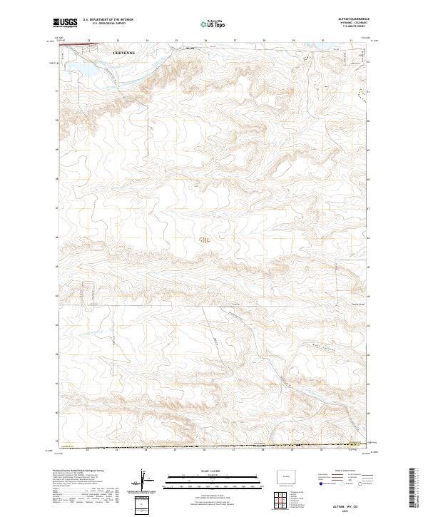
2021 Map of Altvan
USGS Topo · Published 2021About this map
The Wyoming Hereford Ranch Ditch Number 1 and its complex network of irrigation channels, including Kingman Ditch and Stewart Ditch, dominate the northern landscape near the Wyoming-Colorado border. This high plains terrain south of Cheyenne is defined by a ranching and agricultural economy, where water management is critical to the local geography. Significant natural drainage is evident through Porter Draw and the distinctive Bull Canyon in the southeastern quadrant.
Find a feature on this map
31 named features on this map. Tap any name to fly to it.
Don’t see what you’re looking for? This feature index may not catch every label — zoom into the map to look around manually.
Map Details
Editions of this 2021 Altvan Map
This is the sole edition of this map. No revisions or reprints were ever made.
Other maps of this area

1908 · Eaton
USGS Topo · 1:125,000

1910 · Eaton
USGS Topo · 1:125,000

1911 · Cheyenne
USGS Topo · 1:125,000

1914 · Cheyenne
USGS Topo · 1:125,000

1950 · Cheyenne
USGS Topo · 1:62,500

1954 · Cheyenne
USGS Topo · 1:250,000

1954 · Greeley
USGS Topo · 1:250,000

1957 · Greeley
USGS Topo · 1:250,000

1958 · Cheyenne
USGS Topo · 1:250,000

1958 · Greeley
USGS Topo · 1:250,000