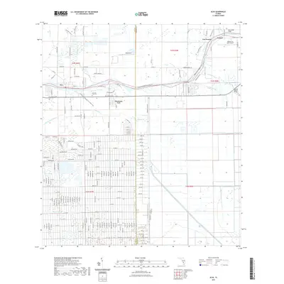
2021 Map of Alva
USGS Topo · Published 2021About this map
The Caloosahatchee River serves as the central artery for this Lee and Hendry County landscape, facilitating both recreation and regional drainage. Along its banks, the historic settlement of Alva sits across from Charleston Park, while further east, the community of Fort Denaud marks a historic crossing point near the Fort Denaud Bridge. The map reveals a complex water management system defined by straight-line cuts like the Townsend Canal, King Canal, and Hickey Creek Canal, which contrast with the natural winding paths of Spanish Cr and Bedman Cr. Local aviation is represented by Alma Airport and William's Sky Manor Airport. For genealogists, the Old Lake Place Cem provides a specific point of interest near the river's bend, while the Okeechobee Waterway Canoe Trl highlights the modern transition of these historic waters into a recreational corridor.
Find a feature on this map
183 named features on this map. Tap any name to fly to it.
Don’t see what you’re looking for? This feature index may not catch every label — zoom into the map to look around manually.
Map Details
Editions of this 2021 Alva Map
This is the sole edition of this map. No revisions or reprints were ever made.
Other maps of this area

1956 · Telegraph Swamp
USGS Topo · 1:24,000

1956 · West Palm Beach
USGS Topo · 1:250,000

1957 · West Palm Beach
USGS Topo · 1:250,000

1957 · Telegraph Swamp SE
USGS Topo · 1:24,000

1958 · West Palm Beach
USGS Topo · 1:250,000

1958 · Felda
USGS Topo · 1:24,000

1958 · Olga
USGS Topo · 1:24,000

1958 · Alva SW
USGS Topo · 1:24,000

1958 · Alva
USGS Topo · 1:24,000

1958 · Sears
USGS Topo · 1:24,000