
1956 Map of Telegraph Swamp
USGS Topo · Published 1957About this map
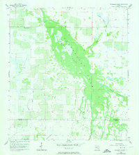
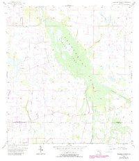
Telegraph Swamp dominates this Southwest Florida landscape, forming a massive natural drainage system that straddles the boundary of Charlotte and Lee Counties. In the mid-1950s, this area remained largely undeveloped, defined by complex water patterns including Bullhead Strand and the channelized Big Island Canal. The presence of an Old Railroad Grade running north-south through the western sections suggests a history of earlier resource extraction or land management that predates the modern era of the Babcock Ranch.
Find a feature on this map
13 named features on this map. Tap any name to fly to it.
Don’t see what you’re looking for? This feature index may not catch every label — zoom into the map to look around manually.
Map Details
Editions of this 1956 Telegraph Swamp Map
3 editions found
Other maps of this area

1956 · Telegraph Swamp NE
USGS Topo · 1:24,000

1956 · Telegraph Swamp NW
USGS Topo · 1:24,000

1956 · Bermont
USGS Topo · 1:24,000

1956 · West Palm Beach
USGS Topo · 1:250,000

1957 · West Palm Beach
USGS Topo · 1:250,000

1957 · Tuckers Corner
USGS Topo · 1:24,000

1957 · Telegraph Swamp SE
USGS Topo · 1:24,000

1958 · West Palm Beach
USGS Topo · 1:250,000

1958 · Olga
USGS Topo · 1:24,000

1958 · Fort Myers
USGS Topo · 1:24,000