
1958 Map of Fort Myers
USGS Topo · Published 1959About this map
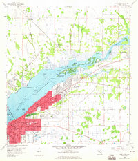
The Caloosahatchee River serves as the central artery for this late 1950s look at Fort Myers, where the city's northward expansion meets the wetlands and creeks of Lee County. The shoreline is characterized by significant navigational engineering, including the Thompson Cutoff and an extensive Spoil Area that reshaped the river's edge. Inland, the transition from urban to rural is marked by a dense network of neighborhood institutions, particularly schools like Franklin Park Sch and Edison Park Sch, and religious sites such as the Bayshore Chapel.
Find a feature on this map
46 named features on this map. Tap any name to fly to it.
Don’t see what you’re looking for? This feature index may not catch every label — zoom into the map to look around manually.
Map Details
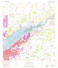
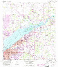
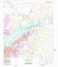
Editions of this 1958 Fort Myers Map
5 editions found
Other maps of this area

1956 · Telegraph Swamp
USGS Topo · 1:24,000

1956 · West Palm Beach
USGS Topo · 1:250,000

1957 · West Palm Beach
USGS Topo · 1:250,000

1957 · Tuckers Corner
USGS Topo · 1:24,000

1957 · Gilchrist
USGS Topo · 1:24,000

1958 · West Palm Beach
USGS Topo · 1:250,000

1958 · Fort Myers NW
USGS Topo · 1:24,000

1958 · Fort Myers SW
USGS Topo · 1:24,000

1958 · Olga
USGS Topo · 1:24,000

1958 · Alva SW
USGS Topo · 1:24,000
Featured Places
- Fort Myers, FL
- Fort Myers Shores, FL
- Orange Harbor Mobile Home Park, FL
- Sunburst RV Resort, FL
- Old Bridge Village, FL