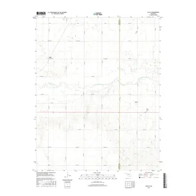
2016 Map of Alva SE
USGS Topo · Published 2016About this map
The Salt Fork Arkansas River carves a central path through this section of the Oklahoma plains, defining the topography between the small settlements of Brink and Ashley. This 2016 survey highlights a structured grid of rural section roads, including Kay Rd and Johnston Rd, which organize the agricultural landscape and provide access to remote homesteads and local landmarks. The border between Woods and Alfalfa Counties runs north-to-south through the eastern half of the map, a political line that bisects the river valley. For those tracing family roots in the region, the map preserves the location of Liberty Cem in the north and Short Springs Cem to the south, both of which serve as enduring anchors for the local community amidst the wide-open terrain.
Find a feature on this map
29 named features on this map. Tap any name to fly to it.
Don’t see what you’re looking for? This feature index may not catch every label — zoom into the map to look around manually.
Map Details
Editions of this 2016 Alva SE Map
This is the sole edition of this map. No revisions or reprints were ever made.
Other maps of this area

1955 · Woodward
USGS Topo · 1:250,000

1958 · Woodward
USGS Topo · 1:250,000

1968 · Capron
USGS Topo · 1:24,000

1969 · Dacoma
USGS Topo · 1:24,000

1969 · Lambert
USGS Topo · 1:24,000

1969 · Alva SE
USGS Topo · 1:24,000

1969 · Burlington
USGS Topo · 1:24,000

1969 · Hopeton
USGS Topo · 1:24,000

1969 · Alva NW
USGS Topo · 1:24,000

1969 · Ingersoll
USGS Topo · 1:24,000