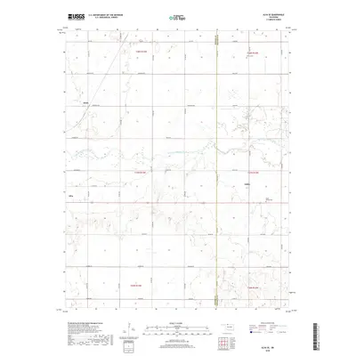
2018 Map of Alva SE
USGS Topo · Published 2018About this map
The Salt Fork Arkansas River meanders eastward through this portion of Oklahoma, acting as a natural divider between the northern plains and the more varied topography to the south. Along the western edge, the eastern outskirts of Alva appear, while the smaller settlements of Ashley and Brink anchor the surrounding rural landscape. The map captures a grid-based agricultural network where section lines serve as primary thoroughfares, including Jefferson Rd and Hughes Rd. This layout is punctuated by local heritage sites such as Short Springs Cem and Liberty Cem, which offer significant value for genealogical research in this region. The boundary between Woods Co and Alfalfa Co runs vertically through the center of the sheet, illustrating how jurisdictional lines were drawn across the river valley and the open country of the Cherokee Outlet region.
Find a feature on this map
38 named features on this map. Tap any name to fly to it.
Don’t see what you’re looking for? This feature index may not catch every label — zoom into the map to look around manually.
Map Details
Editions of this 2018 Alva SE Map
This is the sole edition of this map. No revisions or reprints were ever made.
Other maps of this area

1955 · Woodward
USGS Topo · 1:250,000

1958 · Woodward
USGS Topo · 1:250,000

1968 · Capron
USGS Topo · 1:24,000

1969 · Dacoma
USGS Topo · 1:24,000

1969 · Lambert
USGS Topo · 1:24,000

1969 · Alva SE
USGS Topo · 1:24,000

1969 · Burlington
USGS Topo · 1:24,000

1969 · Hopeton
USGS Topo · 1:24,000

1969 · Alva NW
USGS Topo · 1:24,000

1969 · Ingersoll
USGS Topo · 1:24,000