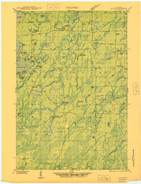
1946 Map of Alvin
USGS Topo · Published 1946About this map
Nicolet National Forest dominates this landscape in northern Forest and Vilas counties, illustrating a region defined by federal conservation and Depression-era infrastructure. The presence of multiple CCC Camps and several fire lookouts, including the Pine River Fire Tower and Jones Dam Fire Tower, speaks to the intensive forest management and public works projects of the late 1930s. The settlement of Alvin serves as the primary hub in a network of primitive roads and specialized trails, including a Lumber Road and various truck trails designed for timber extraction and fire suppression.
Find a feature on this map
55 named features on this map. Tap any name to fly to it.
Don’t see what you’re looking for? This feature index may not catch every label — zoom into the map to look around manually.
Map Details
Editions of this 1946 Alvin Map
This is the sole edition of this map. No revisions or reprints were ever made.
Other maps of this area
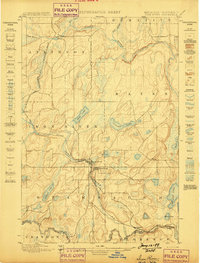
1898 · Iron River
USGS Topo · 1:62,500
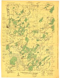
1928 · Three Lakes
USGS Topo · 1:48,000
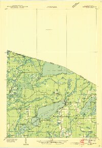
1938 · Phelps
USGS Topo · 1:48,000
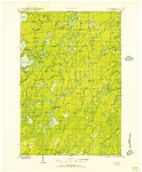
1938 · Alvin
USGS Topo · 1:48,000
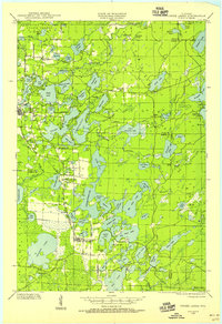
1938 · Three Lakes
USGS Topo · 1:48,000
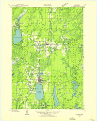
1939 · Crandon
USGS Topo · 1:48,000
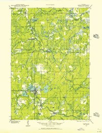
1939 · Laona
USGS Topo · 1:48,000
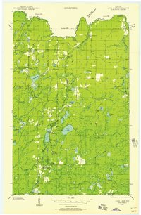
1939 · Long Lake
USGS Topo · 1:48,000
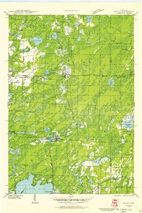
1940 · Monico
USGS Topo · 1:48,000
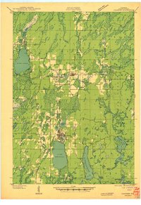
1941 · Crandon
USGS Topo · 1:48,000