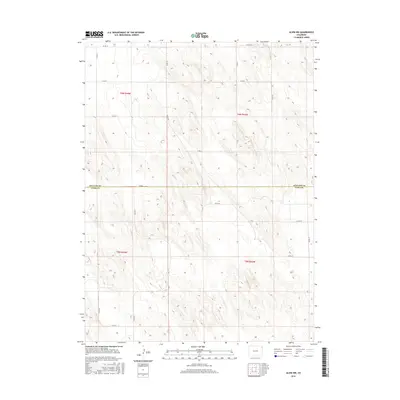
2016 Map of Alvin NW
USGS Topo · Published 2016About this map
Phillips and Yuma counties meet along a surveyed boundary in this High Plains region of Colorado, characterized by a rigorous section-line grid. The landscape is defined by the repetitive, undulating topography of the sand hills, where natural water features are absent and the human imprint is restricted to a network of gravel and dirt roads. These routes, including Co Rd 10 and Co Rd HH, follow the Township and Range lines of t6n r44w and t5n r43w, reflecting the enduring legacy of the Public Land Survey System in organizing this agricultural and ranching territory. The map illustrates a high degree of isolation, with no named towns or schools appearing, only the essential infrastructure of rural connectivity such as Co Rd 2 and Co Rd 56.
Find a feature on this map
21 named features on this map. Tap any name to fly to it.
Don’t see what you’re looking for? This feature index may not catch every label — zoom into the map to look around manually.
Map Details
Editions of this 2016 Alvin NW Map
This is the sole edition of this map. No revisions or reprints were ever made.
Other maps of this area

1954 · Sterling
USGS Topo · 1:250,000

1958 · Sterling
USGS Topo · 1:250,000

1971 · Amherst SW
USGS Topo · 1:24,000

1971 · Holyoke
USGS Topo · 1:24,000

1971 · Alvin NW
USGS Topo · 1:24,000

1971 · Amherst SE
USGS Topo · 1:24,000

1971 · Alvin SW
USGS Topo · 1:24,000

1971 · Wauneta NE
USGS Topo · 1:24,000

1971 · Alvin
USGS Topo · 1:24,000

1971 · Wauneta
USGS Topo · 1:24,000