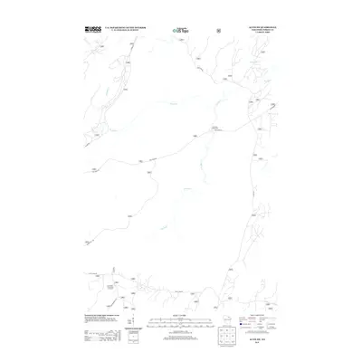
2013 Map of Alvin SW
USGS Topo · Published 2013About this map
The Pine River meanders through this heavily forested portion of Wisconsin, defining the local landscape along with its tributaries, Kimball Cr and McDonald Cr. This 2013 survey highlights a region largely dedicated to natural preservation and outdoor recreation, evidenced by the Pine River Campground and the Giant Pine Grove Point of Interest located near Experimental Rd. The transport network consists almost entirely of secondary forest roads such as Divide Rd and Scott Lake Rd, which provide access to the dense timberland. The presence of Jones Dam Rd suggests the historical management of local waterways, while the lack of dense residential settlements reflects the area's ongoing character as a managed forest environment.
Find a feature on this map
11 named features on this map. Tap any name to fly to it.
Don’t see what you’re looking for? This feature index may not catch every label — zoom into the map to look around manually.
Map Details
Editions of this 2013 Alvin SW Map
This is the sole edition of this map. No revisions or reprints were ever made.
Other maps of this area

1928 · Three Lakes
USGS Topo · 1:48,000

1938 · Alvin
USGS Topo · 1:48,000

1938 · Three Lakes
USGS Topo · 1:48,000

1939 · Crandon
USGS Topo · 1:48,000

1940 · Monico
USGS Topo · 1:48,000

1941 · Crandon
USGS Topo · 1:48,000

1945 · Three Lakes
USGS Topo · 1:48,000

1946 · Alvin
USGS Topo · 1:48,000

1947 · Crandon
USGS Topo · 1:48,000

1950 · Monico
USGS Topo · 1:48,000