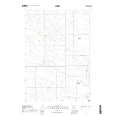
2020 Map of Alzada NW
USGS Topo · Published 2020About this map
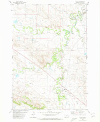
The Little Missouri River brushes the southeastern corner of this landscape in Carter County, Montana, serving as the primary drainage for a network of intermittent creeks that define the local geography. The area is characterized by the complex convergence of N Cottonwood Cr and S Cottonwood Cr, which join to form Cottonwood Cr. Further north, Hamilton Cr and the dual branches of N Butte Cr and S Butte Cr carve paths through the township. This modern survey reflects the vast, sparsely populated grazing lands typical of the American West, where watercourses like Short Cr provide the essential framework for ranching and land division. The map provides a detailed look at the public land survey system, illustrating how township boundaries like t7s r59e and t8s r60e organize this open country.
Find a feature on this map
12 named features on this map. Tap any name to fly to it.
Don’t see what you’re looking for? This feature index may not catch every label — zoom into the map to look around manually.
Map Details
Editions of this 2020 Alzada NW Map
This is the sole edition of this map. No revisions or reprints were ever made.
Other maps of this area

1954 · Ekalaka
USGS Topo · 1:250,000

1956 · Ekalaka
USGS Topo · 1:250,000

1958 · Ekalaka
USGS Topo · 1:250,000

1965 · Ekalaka
USGS Topo · 1:250,000
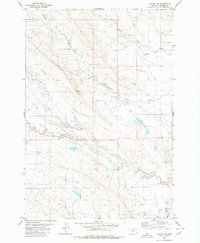
1980 · Alzada NW
USGS Topo · 1:24,000

1980 · Finger Buttes East
USGS Topo · 1:24,000
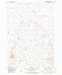
1980 · Sevenmile Creek
USGS Topo · 1:24,000
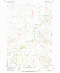
1980 · Albion
USGS Topo · 1:24,000
1980 · Alzada
USGS Topo · 1:24,000
1980 · Finger Buttes West
USGS Topo · 1:24,000