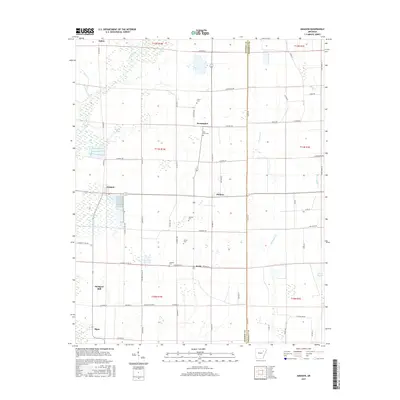
2017 Map of Amagon
USGS Topo · Published 2017About this map
Cache River bottomlands define the western edge of this Jackson County landscape, where the flat alluvial terrain is etched by drainage channels and localized lakes. Small agricultural communities such as Amagon, Pennington, and Balch are connected by a network of rural roads that follows the section lines of the Public Land Survey System. The area is notable for several family-named burial sites, including Carter Cem, Bill Ford Cem, and Martin Cem, which provide significant anchor points for local genealogical research. In the southwest, Stringers Mill and Algoa mark established points of habitation near the wetland margins. Water features like Grindle Lake, Brewer Lake, and Mink Slough suggest the complex hydrology of the region before modern drainage patterns were fully established, reflecting a landscape where the river's influence remains visible in the soil and settlement patterns.
Find a feature on this map
70 named features on this map. Tap any name to fly to it.
Don’t see what you’re looking for? This feature index may not catch every label — zoom into the map to look around manually.
Map Details
Editions of this 2017 Amagon Map
This is the sole edition of this map. No revisions or reprints were ever made.
Other maps of this area

1935 · Tuckerman
USGS Topo · 1:62,500

1939 · Vanndale
USGS Topo · 1:62,500

1939 · Weiner
USGS Topo · 1:62,500

1940 · Tilton
USGS Topo · 1:62,500

1953 · Memphis
USGS Topo · 1:250,000

1956 · Memphis
USGS Topo · 1:250,000

1956 · Tilton
USGS Topo · 1:62,500

1958 · Vanndale
USGS Topo · 1:62,500

1959 · Weiner
USGS Topo · 1:62,500

1960 · Weiner
USGS Topo · 1:62,500