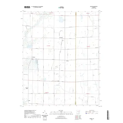
2020 Map of Amagon
USGS Topo · Published 2020About this map
Amagon serves as a central point in this Jackson County landscape, where the flat agricultural terrain is defined by a grid of rural roads and scattered small communities. The map captures the settlement patterns of the early 21st century, showing quiet townships like Balch, Algoa, and Estico connected by a network of local routes including Jackson Road 374 and Jackson Cty Rd 32.
Find a feature on this map
73 named features on this map. Tap any name to fly to it.
Don’t see what you’re looking for? This feature index may not catch every label — zoom into the map to look around manually.
Map Details
Editions of this 2020 Amagon Map
This is the sole edition of this map. No revisions or reprints were ever made.
Other maps of this area

1935 · Tuckerman
USGS Topo · 1:62,500

1939 · Vanndale
USGS Topo · 1:62,500

1939 · Weiner
USGS Topo · 1:62,500

1940 · Tilton
USGS Topo · 1:62,500

1953 · Memphis
USGS Topo · 1:250,000

1956 · Memphis
USGS Topo · 1:250,000

1956 · Tilton
USGS Topo · 1:62,500

1958 · Vanndale
USGS Topo · 1:62,500

1959 · Weiner
USGS Topo · 1:62,500

1960 · Weiner
USGS Topo · 1:62,500