
1953 Map of Amandaville
USGS Topo · Published 1954About this map
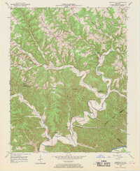
Crocus Creek carves a deep, winding path through the dissected plateau of southern Kentucky, where the Adair Co Cumberland Co line marks a landscape dominated by high ridges and narrow bottomlands. Small agricultural communities such as Amandaville and Chance serve as anchors for a network of rural life defined by local institutions. The mapping reveals a high density of neighborhood schools and houses of worship, including Republican Sch, Morgan Sch, and the Union Ch, reflecting the self-sufficient nature of these hollows in the early 1950s. Near the southern edge of the sheet, the terrain drops toward the Cumberland River, while prominent elevations like Chestnut Flat Ridge and Pond Ridge separate the various forks and branches. This era shows the region just before significant modern consolidation, preserving the locations of numerous family landmarks like Earls Cem and Hadleys Cem.
Find a feature on this map
48 named features on this map. Tap any name to fly to it.
Don’t see what you’re looking for? This feature index may not catch every label — zoom into the map to look around manually.
Map Details
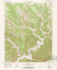
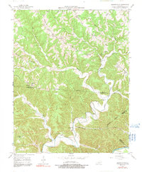
Editions of this 1953 Amandaville Map
4 editions found
Other maps of this area

1953 · Gradyville
USGS Topo · 1:24,000

1953 · Breeding
USGS Topo · 1:24,000

1953 · Waterview
USGS Topo · 1:24,000

1953 · Montpelier
USGS Topo · 1:24,000

1953 · Burkesville
USGS Topo · 1:24,000

1953 · Wolf Creek Dam
USGS Topo · 1:24,000

1953 · Creelsboro
USGS Topo · 1:24,000

1954 · Columbia
USGS Topo · 1:24,000

1956 · Corbin
USGS Topo · 1:250,000

1957 · Winchester
USGS Topo · 1:250,000