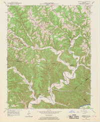
1953 Map of Amandaville
USGS Topo · Published 1970About this map
Crocus Creek carves a deep, winding path through the dissected plateau of Adair and Cumberland Counties, serving as the central drainage for a landscape defined by prominent ridgelines. Small agricultural settlements such as Amandaville and Inroad are situated at the intersections of creek bottoms and upland routes, representing the rural social fabric of south-central Kentucky in the early 1950s. The map reveals a high density of local institutions, including Spark Chapel, Hogard Ch, and several neighborhood schools like Elliott Sch and Greenbrier Sch.
Find a feature on this map
47 named features on this map. Tap any name to fly to it.
Don’t see what you’re looking for? This feature index may not catch every label — zoom into the map to look around manually.
Map Details
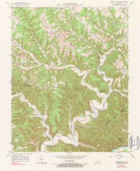
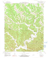
Editions of this 1953 Amandaville Map
4 editions found
Other maps of this area

1953 · Gradyville
USGS Topo · 1:24,000

1953 · Breeding
USGS Topo · 1:24,000

1953 · Waterview
USGS Topo · 1:24,000

1953 · Amandaville
USGS Topo · 1:24,000

1953 · Montpelier
USGS Topo · 1:24,000

1953 · Burkesville
USGS Topo · 1:24,000

1953 · Wolf Creek Dam
USGS Topo · 1:24,000

1953 · Creelsboro
USGS Topo · 1:24,000

1954 · Columbia
USGS Topo · 1:24,000

1956 · Corbin
USGS Topo · 1:250,000