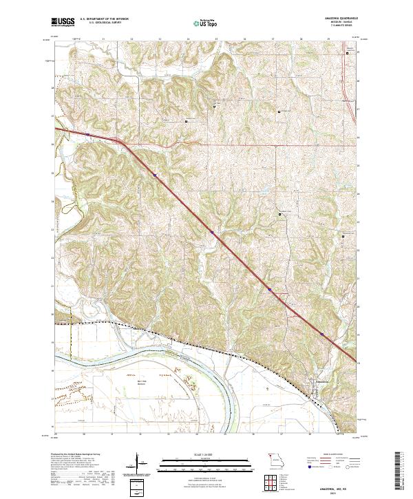
2021 Map of Amazonia
USGS Topo · Published 2021About this map
Amazonia and the settlement of Nodaway anchor the landscape along the Missouri River in this part of Andrew County. The terrain is defined by the sharp transition from the broad, flat Burr Oak Bottom protected by a Levee to the intricate network of loess hills drained by streams such as Lincoln Cr, Caples Cr, and Mill Cr. This confluence of river, rail, and road reflects a longstanding transportation corridor, where the BNSF Railway tracks parallel the waterway.
Find a feature on this map
87 named features on this map. Tap any name to fly to it.
Don’t see what you’re looking for? This feature index may not catch every label — zoom into the map to look around manually.
Map Details
Editions of this 2021 Amazonia Map
This is the sole edition of this map. No revisions or reprints were ever made.
Other maps of this area

1885 · Atchison
USGS Topo · 1:125,000

1888 · Atchison
USGS Topo · 1:125,000

1893 · Atchison
USGS Topo · 1:125,000

1924 · St. Joseph
USGS Topo · 1:62,500

1926 · Saint Joseph
USGS Topo · 1:62,500

1926 · Oregon
USGS Topo · 1:62,500

1926 · Maitland
USGS Topo · 1:62,500

1927 · Bolckow
USGS Topo · 1:62,500

1945 · Bolckow
USGS Topo · 1:62,500

1950 · Kansas City
USGS Topo · 1:250,000