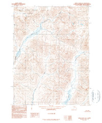
1990 Map of Ambler River B-3
USGS Topo · Published 1990About this map
Noatak National Preserve encompasses the northern reach of this landscape, a region defined by high mountain passes and an intricate network of waterways within the Noatak Wilderness. The drainage system is anchored by the Redstone River, which flows through the western portion of the quadrangle, joined by tributaries such as Cross Creek and Kalutivik Creek. This 1990 provisional edition, based on aerial photography from the late 1970s, illustrates a roadless wilderness where terrain is the primary feature of interest. Significant topographic landmarks like Ivishak Pass provide critical navigational waypoints through the high elevations. The map reveals the unmodified state of the Arctic interior prior to any significant modern infrastructure development, focusing strictly on the natural hydrologic and geologic contours of the Brooks Range foothills.
Find a feature on this map
9 named features on this map. Tap any name to fly to it.
Don’t see what you’re looking for? This feature index may not catch every label — zoom into the map to look around manually.
Map Details
Editions of this 1990 Ambler River B-3 Map
This is the sole edition of this map. No revisions or reprints were ever made.
Other maps of this area

1951 · Ambler River
USGS Topo · 1:250,000

1955 · Ambler River A-4
USGS Topo · 1:63,360

1956 · Ambler River
USGS Topo · 1:250,000

1964 · Ambler River
USGS Topo · 1:250,000
1966 · Ambler River A-4
USGS Topo · 1:63,360
1985 · Ambler River A-3
USGS Topo · 1:63,360
1985 · Ambler River A-2
USGS Topo · 1:63,360
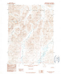
1990 · Ambler River B-4
USGS Topo · 1:63,360
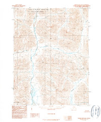
1990 · Ambler River B-2
USGS Topo · 1:63,360
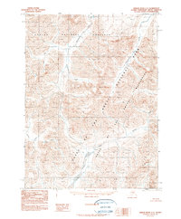
1990 · Ambler River C-2
USGS Topo · 1:63,360