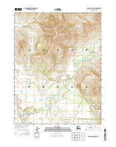
2015 Map of Ambler River B-5 SW
USGS Topo · Published 2015About this map
Kobuk Valley National Park dominates this sub-arctic landscape, where a network of braided waterways defines the low-lying terrain. The Akillik River winds through the central and eastern portions of the map, characterized by significant meanders and oxbow formations indicative of a dynamic river system. This area represents a transition between the northern mountainous slopes and the broader river valleys of the Northwest Arctic. Smaller tributaries like Nekakte Cr and Nuna Cr feed into the larger river systems, cutting through the complex topography of the public land survey sections. The absence of human-made infrastructure or settlements underscores the protected wilderness character of this region during this period.
Find a feature on this map
10 named features on this map. Tap any name to fly to it.
Don’t see what you’re looking for? This feature index may not catch every label — zoom into the map to look around manually.
Map Details
Editions of this 2015 Ambler River B-5 SW Map
This is the sole edition of this map. No revisions or reprints were ever made.
Other maps of this area

1951 · Ambler River
USGS Topo · 1:250,000

1955 · Ambler River A-6
USGS Topo · 1:63,360

1955 · Ambler River A-5
USGS Topo · 1:63,360

1956 · Ambler River
USGS Topo · 1:250,000

1964 · Ambler River
USGS Topo · 1:250,000
1990 · Ambler River B-5
USGS Topo · 1:63,360
1990 · Ambler River B-6
USGS Topo · 1:63,360
2015 · Ambler River B-5 NW
USGS Topo · 1:25,000
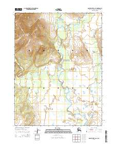
2015 · Ambler River B-6 SE
USGS Topo · 1:25,000
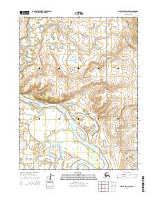
2015 · Ambler River A-5 NW
USGS Topo · 1:25,000