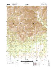
2015 Map of Ambler River B-6 SW
USGS Topo · Published 2015About this map
Kobuk Valley National Park occupies the central and southern portions of this topographical study within the Northwest Arctic Borough. The landscape is characterized by significant elevational changes, captured in the mid-2010s using modern digital elevation datasets. The map delineates precise public land survey system boundaries, including t22n r1w and t23n r1w, which define the administrative grid of this protected wilderness area. While largely devoid of named human infrastructure or settlements, the intricate contour lines reveal the complex drainage patterns and ridgelines that define the northern Alaskan interior. This survey serves as a definitive record of the park's physical geography before further environmental shifts, providing a high-resolution view of the terrain within the t21n r1w township and surrounding ranges.
Find a feature on this map
10 named features on this map. Tap any name to fly to it.
Don’t see what you’re looking for? This feature index may not catch every label — zoom into the map to look around manually.
Map Details
Editions of this 2015 Ambler River B-6 SW Map
This is the sole edition of this map. No revisions or reprints were ever made.
Other maps of this area

1951 · Baird Mountains
USGS Topo · 1:250,000

1951 · Ambler River
USGS Topo · 1:250,000

1955 · Baird Mountains A-1
USGS Topo · 1:63,360

1955 · Ambler River A-6
USGS Topo · 1:63,360

1956 · Ambler River
USGS Topo · 1:250,000

1956 · Baird Mountains
USGS Topo · 1:250,000

1964 · Ambler River
USGS Topo · 1:250,000

1965 · Baird Mountains
USGS Topo · 1:250,000
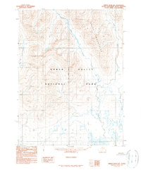
1990 · Ambler River B-6
USGS Topo · 1:63,360
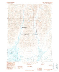
1990 · Baird Mountains B-1
USGS Topo · 1:63,360