
1955 Map of Baird Mountains A-1
USGS Topo · Published 1959About this map
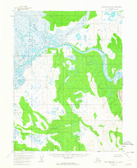
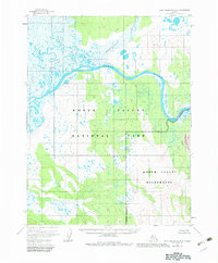
The Kobuk River snakes across this northern Alaskan landscape, serving as the primary drainage for a network of tributaries including the Kaliguricheark River and the Salmon River. In the mid-1950s, this area remained largely untouched by permanent settlements, characterized instead by its distinctive geological features. Most striking is the presence of the Great Kobuk Sand Dunes along the eastern edge of the quadrangle, where shifting sands meet the waters of Kavet Creek. The terrain is punctuated by high points such as VABM Nigeruk and VABM Kalig, which provided essential reference marks for surveyors from the Geological Survey. The intricate braiding of the Tutuksuk River and the meandering path of Nigeruk Creek reveal a landscape shaped by seasonal water movement and the slow migration of Arctic river systems.
Find a feature on this map
9 named features on this map. Tap any name to fly to it.
Don’t see what you’re looking for? This feature index may not catch every label — zoom into the map to look around manually.
Map Details
Editions of this 1955 Baird Mountains A-1 Map
3 editions found
Other maps of this area

1951 · Baird Mountains
USGS Topo · 1:250,000

1951 · Selawik
USGS Topo · 1:250,000

1951 · Shungnak
USGS Topo · 1:250,000

1951 · Ambler River
USGS Topo · 1:250,000

1955 · Shungnak
USGS Topo · 1:250,000

1955 · Selawik D-2
USGS Topo · 1:63,360

1955 · Ambler River A-6
USGS Topo · 1:63,360

1955 · Shungnak D-6
USGS Topo · 1:63,360

1955 · Baird Mountains A-2
USGS Topo · 1:63,360
1955 · Selawik D-1
USGS Topo · 1:63,360