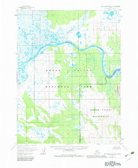
1955 Map of Baird Mountains A-1
USGS Topo · Published 1983About this map
The Kobuk River meanders across this mid-century landscape, carving a wide valley through the northwestern Arctic. This 1955 survey, which includes minor revisions from the early 1980s, captures the transition of this territory into the Kobuk Valley National Park and the protected Kobuk Valley Wilderness. One of the most distinctive geological features recorded is the Great Kobuk Sand Dunes at the eastern edge, a remarkable desert-like expanse in the high latitudes. The drainage network is complex, defined by the Tutuksuk River, Kaliguricheark River, and Salmon River, which all feed into the main Kobuk artery. Human presence is extremely sparse, represented only by a solitary Cabin along a northern tributary, highlighting the remote character of the Kobuk Valley before modern infrastructure reached this part of Alaska.
Find a feature on this map
15 named features on this map. Tap any name to fly to it.
Don’t see what you’re looking for? This feature index may not catch every label — zoom into the map to look around manually.
Map Details
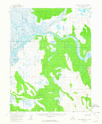
Editions of this 1955 Baird Mountains A-1 Map
3 editions found
Other maps of this area

1951 · Baird Mountains
USGS Topo · 1:250,000

1951 · Selawik
USGS Topo · 1:250,000

1951 · Shungnak
USGS Topo · 1:250,000

1951 · Ambler River
USGS Topo · 1:250,000

1955 · Shungnak
USGS Topo · 1:250,000

1955 · Baird Mountains A-1
USGS Topo · 1:63,360

1955 · Selawik D-2
USGS Topo · 1:63,360

1955 · Ambler River A-6
USGS Topo · 1:63,360

1955 · Shungnak D-6
USGS Topo · 1:63,360

1955 · Baird Mountains A-2
USGS Topo · 1:63,360