
1955 Map of Selawik D-2
USGS Topo · Published 1959About this map
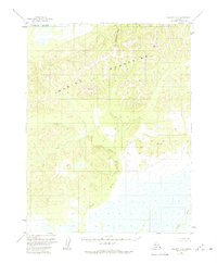
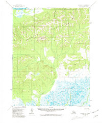
The Waring Mountains dominate this mid-century Alaskan landscape, providing a high-relief backdrop to the complex drainage systems of the Northwest Arctic. This 1955 survey captures a roadless wilderness where water defines the only navigable corridors. To the north, the Kobuk River flows across a wide basin, while the southern reaches are shaped by the meandering Fish River and Tagagawik River. The map is punctuated by specific geodetic markers, such as VABM 1750 Elwood and VABM 1368 Sam, which served as the primary terrestrial reference points for early aerial photogrammetric mapping. The dense concentration of wetlands and small tributaries like Blagorod Creek illustrates the permafrost-driven hydrology characteristic of the region before significant modern climate shifts or environmental changes.
Find a feature on this map
8 named features on this map. Tap any name to fly to it.
Don’t see what you’re looking for? This feature index may not catch every label — zoom into the map to look around manually.
Map Details
Editions of this 1955 Selawik D-2 Map
3 editions found
Other maps of this area

1951 · Baird Mountains
USGS Topo · 1:250,000

1951 · Selawik
USGS Topo · 1:250,000

1955 · Baird Mountains A-1
USGS Topo · 1:63,360

1955 · Baird Mountains A-2
USGS Topo · 1:63,360
1955 · Selawik D-1
USGS Topo · 1:63,360

1955 · Selawik C-3
USGS Topo · 1:63,360

1955 · Selawik D-3
USGS Topo · 1:63,360

1955 · Baird Mountains A-3
USGS Topo · 1:63,360

1956 · Baird Mountains
USGS Topo · 1:250,000

1957 · Selawik
USGS Topo · 1:250,000