
1955 Map of Selawik C-3
USGS Topo · Published 1968About this map
Selawik sits at the heart of an intricate aquatic network where the Selawik River fragments into a complex delta of sloughs and channels. This 1955 survey shows a landscape dominated by the transition between water and tundra, characterized by the expansive Selawik Lake and Inland Lake. To the north, the terrain rises slightly as Kuchiak Creek and Singauruk River drain south toward the wetlands.
Find a feature on this map
17 named features on this map. Tap any name to fly to it.
Don’t see what you’re looking for? This feature index may not catch every label — zoom into the map to look around manually.
Map Details
Editions of this 1955 Selawik C-3 Map
This is the sole edition of this map. No revisions or reprints were ever made.
Other maps of this area

1951 · Selawik
USGS Topo · 1:250,000

1955 · Selawik D-2
USGS Topo · 1:63,360

1955 · Selawik B-3
USGS Topo · 1:63,360

1955 · Selawik D-4
USGS Topo · 1:63,360

1955 · Selawik B-4
USGS Topo · 1:63,360

1955 · Selawik D-3
USGS Topo · 1:63,360

1955 · Selawik C-4
USGS Topo · 1:63,360

1957 · Selawik
USGS Topo · 1:250,000
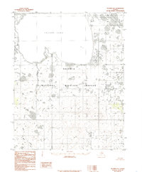
1985 · Selawik B-2
USGS Topo · 1:63,360
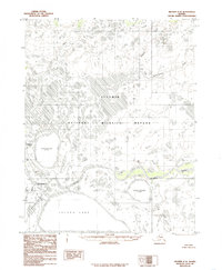
1985 · Selawik C-2
USGS Topo · 1:63,360