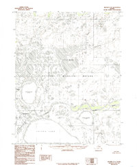
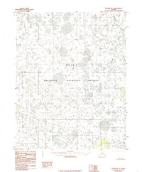
1985 Map of Selawik C-2
USGS Topo · Published 1985About this map
Selawik stands as the primary human settlement in this sprawling deltaic environment, where a complex network of waterways defines the landscape. The Selawik National Wildlife Refuge encompasses much of this territory, protecting a vast wetland mosaic of lakes and meandering river channels. The Selawik River winds through the central portion of the map, fed by numerous tributaries including the Fish River, Ikagoak River, and Nuleargowik River.
Find a feature on this map
16 named features on this map. Tap any name to fly to it.
Don’t see what you’re looking for? This feature index may not catch every label — zoom into the map to look around manually.
Map Details
Editions of this 1985 Selawik C-2 Map
This is the sole edition of this map. No revisions or reprints were ever made.
Other maps of this area

1951 · Selawik
USGS Topo · 1:250,000

1955 · Selawik D-2
USGS Topo · 1:63,360
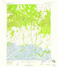
1955 · Selawik D-1
USGS Topo · 1:63,360

1955 · Selawik B-3
USGS Topo · 1:63,360

1955 · Selawik C-3
USGS Topo · 1:63,360

1955 · Selawik D-3
USGS Topo · 1:63,360

1957 · Selawik
USGS Topo · 1:250,000
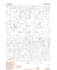
1985 · Selawik C-1
USGS Topo · 1:63,360
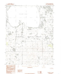
1985 · Selawik B-2
USGS Topo · 1:63,360
1985 · Selawik B-1
USGS Topo · 1:63,360