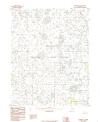
1985 Map of Selawik B-1
USGS Topo · Published 1985About this map
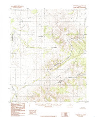
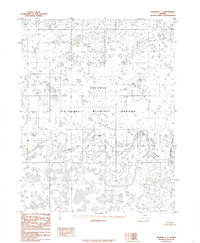
The Selawik River meanders across this landscape of the Northwest Arctic, where the environment is defined by intricate hydrological patterns and seasonal wetlands. Published in the mid-1980s based on 1971 aerial photography, the map documents a vast portion of the Selawik National Wildlife Refuge. The terrain is characterized by a dense network of lakes and ponds, typical of the arctic tundra's drainage systems. The Tagagawik River flows through the eastern section, joining the complex waterway system that sustains the region's diverse migratory bird populations and aquatic life. This provisional map captures the area before modern climate shifts further altered the permafrost and drainage basins of the Alaskan interior.
Find a feature on this map
3 named features on this map. Tap any name to fly to it.
Don’t see what you’re looking for? This feature index may not catch every label — zoom into the map to look around manually.
Map Details
Editions of this 1985 Selawik B-1 Map
This is the sole edition of this map. No revisions or reprints were ever made.
Other maps of this area

1951 · Selawik
USGS Topo · 1:250,000

1951 · Shungnak
USGS Topo · 1:250,000

1955 · Shungnak
USGS Topo · 1:250,000

1957 · Selawik
USGS Topo · 1:250,000

1964 · Shungnak
USGS Topo · 1:250,000
1985 · Selawik A-1
USGS Topo · 1:63,360
1985 · Selawik A-2
USGS Topo · 1:63,360
1985 · Shungnak B-6
USGS Topo · 1:63,360
1985 · Shungnak A-6
USGS Topo · 1:63,360
1985 · Selawik C-1
USGS Topo · 1:63,360