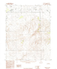
1985 Map of Selawik A-2
USGS Topo · Published 1985About this map
The Selawik National Wildlife Refuge dominates the northern reaches of this landscape, where the meandering Hunt Creek flows through the protected terrain. This 1985 survey captures a transitional Arctic environment where the drainage systems of the Buckland River and its North Fork define the eastern topography. The map illustrates a region of significant elevation changes, marked by prominent survey points such as Mars 3037 and Red 1745. To the south, the Fish River winds through the lower elevations, highlighting the complex water networks that characterize this part of the Northwest Arctic. The absence of roads or established trails on this sheet underscores the remote and undeveloped nature of the Alaskan wilderness during the mid-1980s, providing a clear record of the area's physical geography before modern infrastructure developments.
Find a feature on this map
12 named features on this map. Tap any name to fly to it.
Don’t see what you’re looking for? This feature index may not catch every label — zoom into the map to look around manually.
Map Details
Editions of this 1985 Selawik A-2 Map
This is the sole edition of this map. No revisions or reprints were ever made.
Other maps of this area

1951 · Candle
USGS Topo · 1:250,000

1951 · Selawik
USGS Topo · 1:250,000
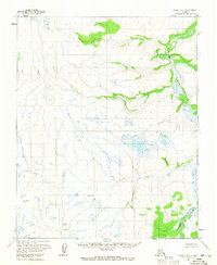
1954 · Candle D-1
USGS Topo · 1:63,360

1954 · Candle D-2
USGS Topo · 1:63,360

1955 · Candle
USGS Topo · 1:250,000

1955 · Selawik B-3
USGS Topo · 1:63,360
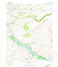
1955 · Candle D-3
USGS Topo · 1:63,360

1955 · Selawik A-3
USGS Topo · 1:63,360

1957 · Selawik
USGS Topo · 1:250,000

1964 · Candle
USGS Topo · 1:250,000