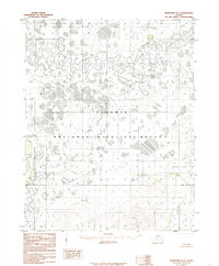
1985 Map of Shungnak B-6
USGS Topo · Published 1985About this map
The Selawik River meanders across this Northwest Arctic landscape, forming a complex network of oxbows and wetlands characteristic of the region's alluvial plains. This 1985 provisional study, based on 1971 aerial photography, captures the intricate hydrology of the Selawik National Wildlife Refuge before modern climate shifts significantly altered the permafrost-dependent drainage patterns. The convergence of the Tagagawik River and Ekiek Creek into the greater Selawik basin highlights a wilderness defined by water, where isolated Springs and shifting riverbeds serve as the primary landmarks. Positioned along the Kateel River Meridian, the map provides a foundational view of this Arctic ecosystem during a period of minimal human infrastructure, documenting the natural state of these vital Alaskan waterways.
Find a feature on this map
8 named features on this map. Tap any name to fly to it.
Don’t see what you’re looking for? This feature index may not catch every label — zoom into the map to look around manually.
Map Details
Editions of this 1985 Shungnak B-6 Map
This is the sole edition of this map. No revisions or reprints were ever made.
Other maps of this area

1951 · Selawik
USGS Topo · 1:250,000

1951 · Shungnak
USGS Topo · 1:250,000

1955 · Shungnak
USGS Topo · 1:250,000

1957 · Selawik
USGS Topo · 1:250,000

1964 · Shungnak
USGS Topo · 1:250,000
1985 · Selawik A-1
USGS Topo · 1:63,360
1985 · Shungnak A-5
USGS Topo · 1:63,360
1985 · Shungnak A-6
USGS Topo · 1:63,360
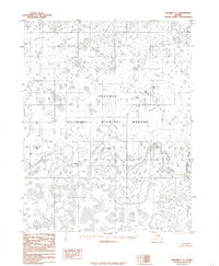
1985 · Selawik C-1
USGS Topo · 1:63,360
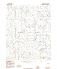
1985 · Selawik B-1
USGS Topo · 1:63,360