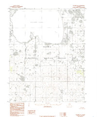
1985 Map of Selawik B-2
USGS Topo · Published 1985About this map
Inland Lake dominates the upper northwestern quadrant of this Alaskan landscape, where the waters meet the extensive wetlands of the Selawik National Wildlife Refuge. The terrain is characterized by a complex network of thaw lakes and ponds, typical of the Arctic coastal plain, interspersed with watercourses such as Hunt Creek and the Fox R. Compiled from 1971 aerial photography, the map documents a delicate subarctic ecosystem defined by its drainage patterns rather than human infrastructure, as the legend explicitly notes a total absence of roads. The survey emphasizes the hydrological character of the region, tracing the winding paths of creeks as they navigate the low-lying tundra before emptying into larger bodies of water.
Find a feature on this map
6 named features on this map. Tap any name to fly to it.
Don’t see what you’re looking for? This feature index may not catch every label — zoom into the map to look around manually.
Map Details
Editions of this 1985 Selawik B-2 Map
This is the sole edition of this map. No revisions or reprints were ever made.
Other maps of this area

1951 · Selawik
USGS Topo · 1:250,000

1955 · Selawik B-3
USGS Topo · 1:63,360

1955 · Selawik C-3
USGS Topo · 1:63,360

1955 · Selawik A-3
USGS Topo · 1:63,360

1957 · Selawik
USGS Topo · 1:250,000
1985 · Selawik A-1
USGS Topo · 1:63,360
1985 · Selawik A-2
USGS Topo · 1:63,360
1985 · Selawik C-1
USGS Topo · 1:63,360
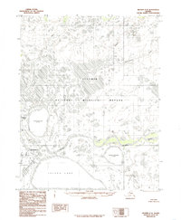
1985 · Selawik C-2
USGS Topo · 1:63,360
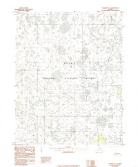
1985 · Selawik B-1
USGS Topo · 1:63,360